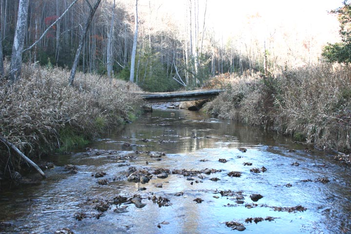
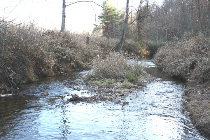
Saddle Mountain Creek
Saddle Mountain Creek: Restoration of Historic Trout Habitat in the Upper Mitchell River Watershed
Conducted field studies and data collection including; verifying the bankfull channel and developing estimates of bankfull discharge; Level II and III Rosgen stream classification and channel stability assessments; and identifying and surveying reference reaches. Developed preliminary design, final design and construction documents and prepared permit package for state and federal permits. Provided on-site construction management during construction.
Acknowledgements
The Project was designed by Clear Creeks Consulting with engineering support services provided by Wolf Creek Engineering.
The Project was constructed by North State Environmental, Inc.
The Project was supported by the Resource Institute and was completed in 2012.
Problem Statement
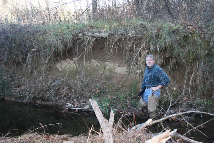
In the 1950’s the lower reaches of Saddle Mountain Creek were impacted by the construction of a recreational fishing pond located along the floodplain between Saddle Mountain Creek and Chadric Creek. Construction of the pond required channelization and straightening and confined the creek between the pond embankment and the adjacent hillslopes.
In the 1990’s timber clear-cuts in the upper watershed created unstable channel conditions and contributed to significant sedimentation and channel adjustments.
Restoration Objectives
- Stabilizing eroding streambanks; relocating the channel away from steep failing hillslopes, reconnecting the channel with the floodplain, providing a more regular plan form along reaches where meander bends were extremely tight
- Modifying channel cross-sections to improve habitat and sediment transport capacity
- Installing in-stream structures to provide grade control, divert flow away from the stabilized banks, and create in-stream habitat.
- Stabilizing and protecting the embankment of the recreational fishing pond.
Project Details
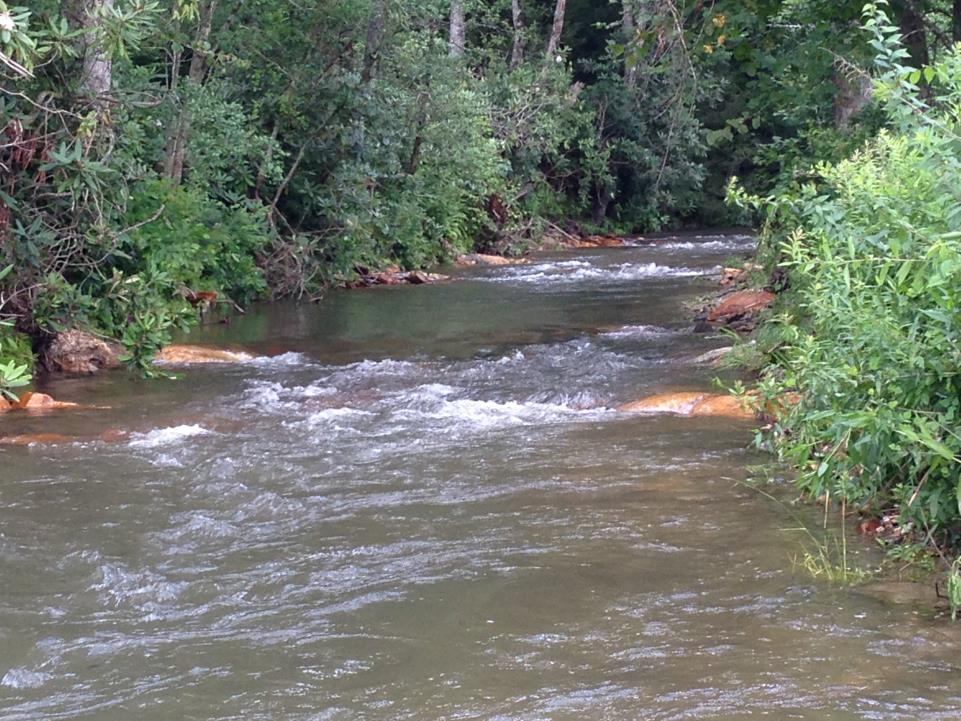
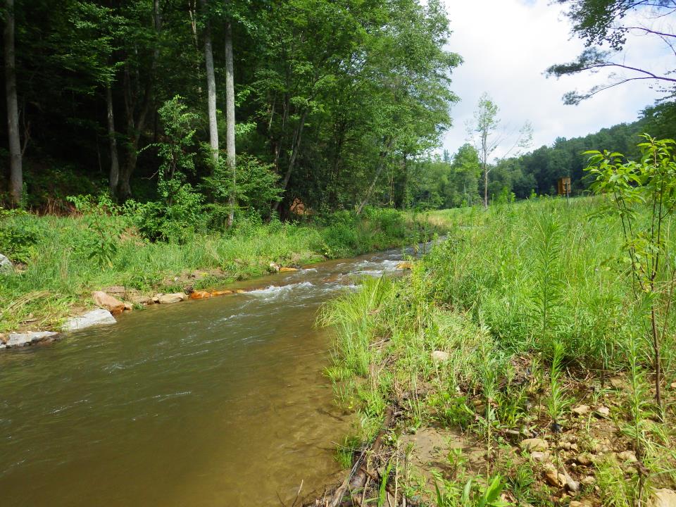
The restoration of 2200 LF along Saddle Mountain Creek involved converting unstable F4, C4, and B4c reaches to stable C4 and B4c channels.
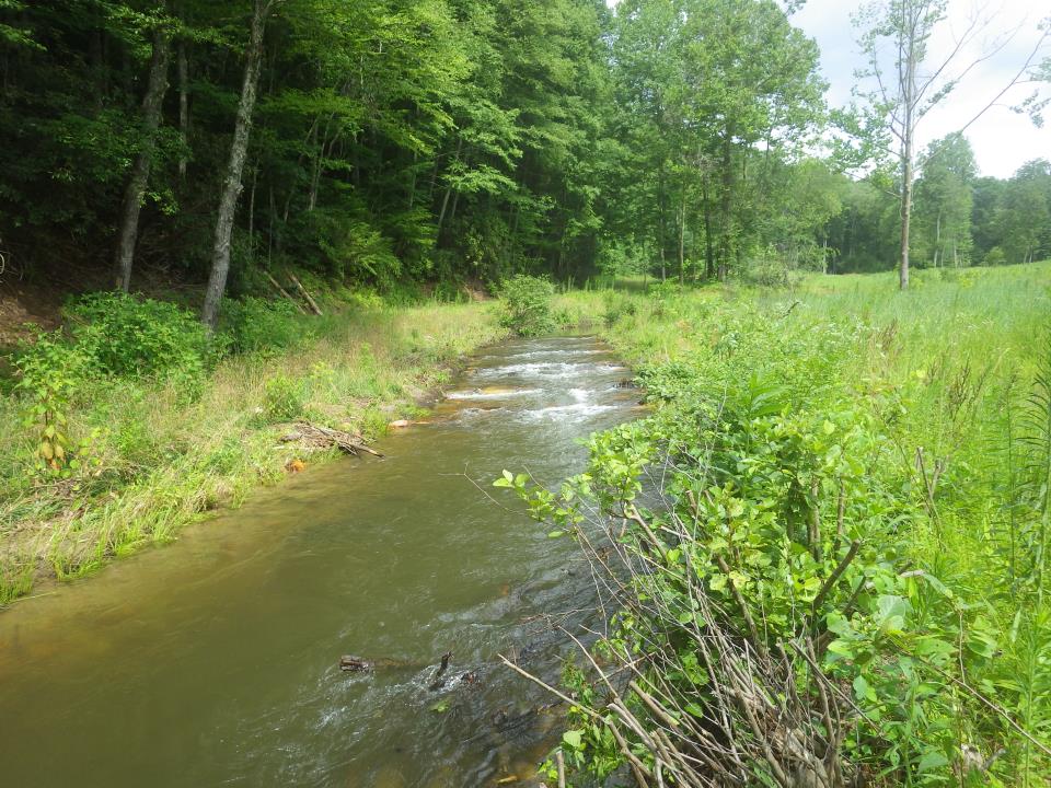
This was accomplished by grading eroding banks to establish a stable angle of repose and increasing the width of the floodprone area.
A bankfull bench was constructed in over-wide channel sections. This narrowed and deepened the baseflow channel and improved sediment transport.
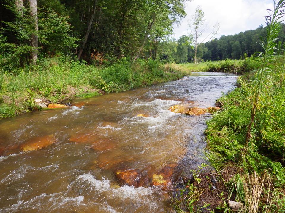
The radii of curvature along tight meander bends were increased.
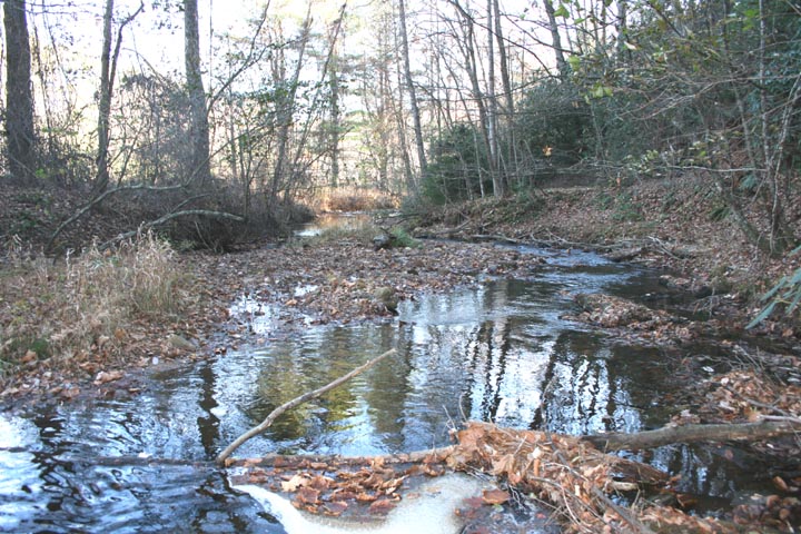
Log-boulder J-hooks were utilized to divert flow away from the stabilized banks. Riffles with converging boulder clusters were constructed to provide grade control, in-stream habitat and long-term stability.
Toe wood with alder transplants and native grasses, shrubs, and trees provided long-term stabilization of the streambanks.
Where Saddle Mountain Creek was eroding into the pond embankment the channel was shifted away from the embankment.
The channelized and straightened lower section of Saddle Mountain Creek was reconstructed as a meandering channel across the adjacent right floodplain. This reconnected the channel with its floodplain and increased overall stream length, as well as in-stream habitat. In addition, this new alignment eliminated a 90º bend that was eroding into the road embankment immediately upstream of a bridge.