Quittie Creek Nature Park
Quittie Creek Nature Park
Annville, PA
Lebanon Valley Conservancy and Quittapahilla Watershed Association
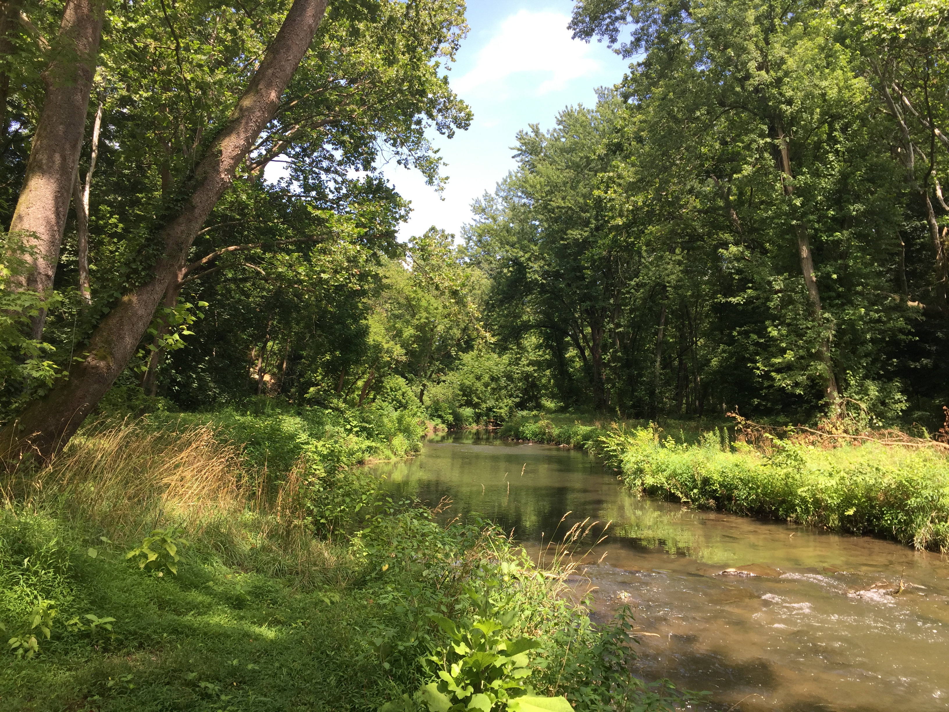
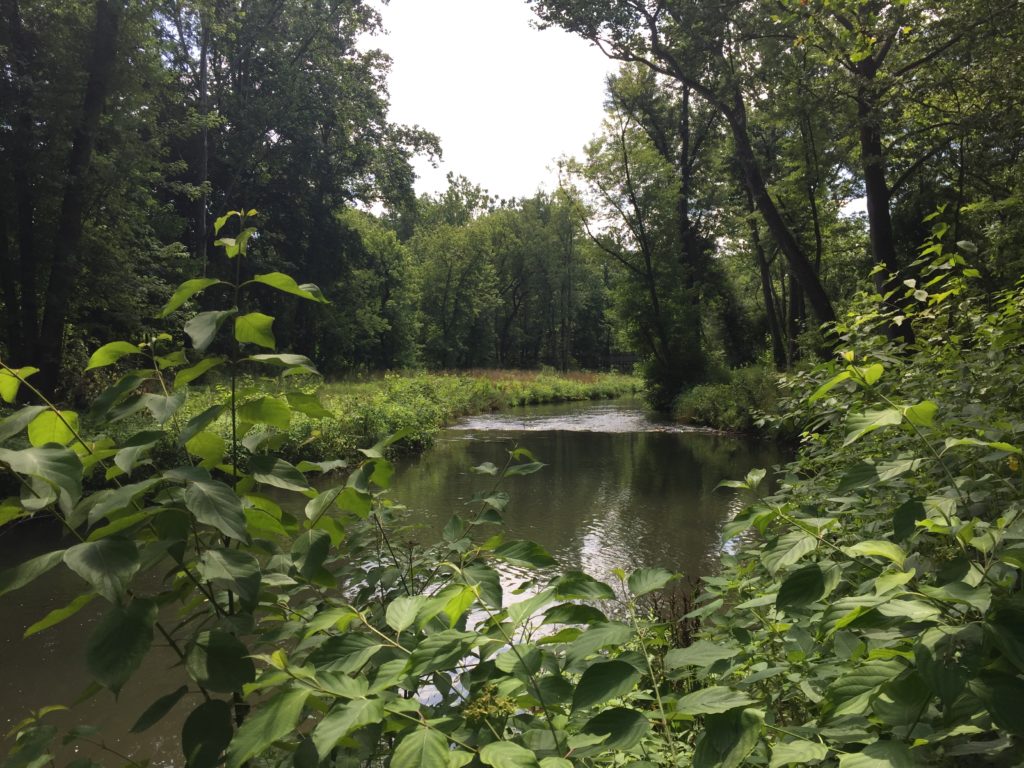
Quittapahilla Creek is a tributary to Swatara Creek and is part of the Susquehanna River Basin. Its headwaters begin just southeast of Lebanon, Pennsylvania and it enters the Swatara Creek near North Annville, Pennsylvania. Recognized for their outstanding efforts, the Quittapahilla Watershed Association had been working for years with a number of private organizations and public agencies to improve the water quality and aquatic habitat of Quittapahilla Creek. Between 2001 and 2004, Clear Creeks Consulting led an interdisciplinary team of consultants and government agencies in conducting a detailed watershed assessment of the Quittapahilla Creek Watershed. Based on the findings of the watershed assessment Clear Creeks developed a Restoration and Management Plan for the Quittapahilla Creek Watershed that was completed in 2006.
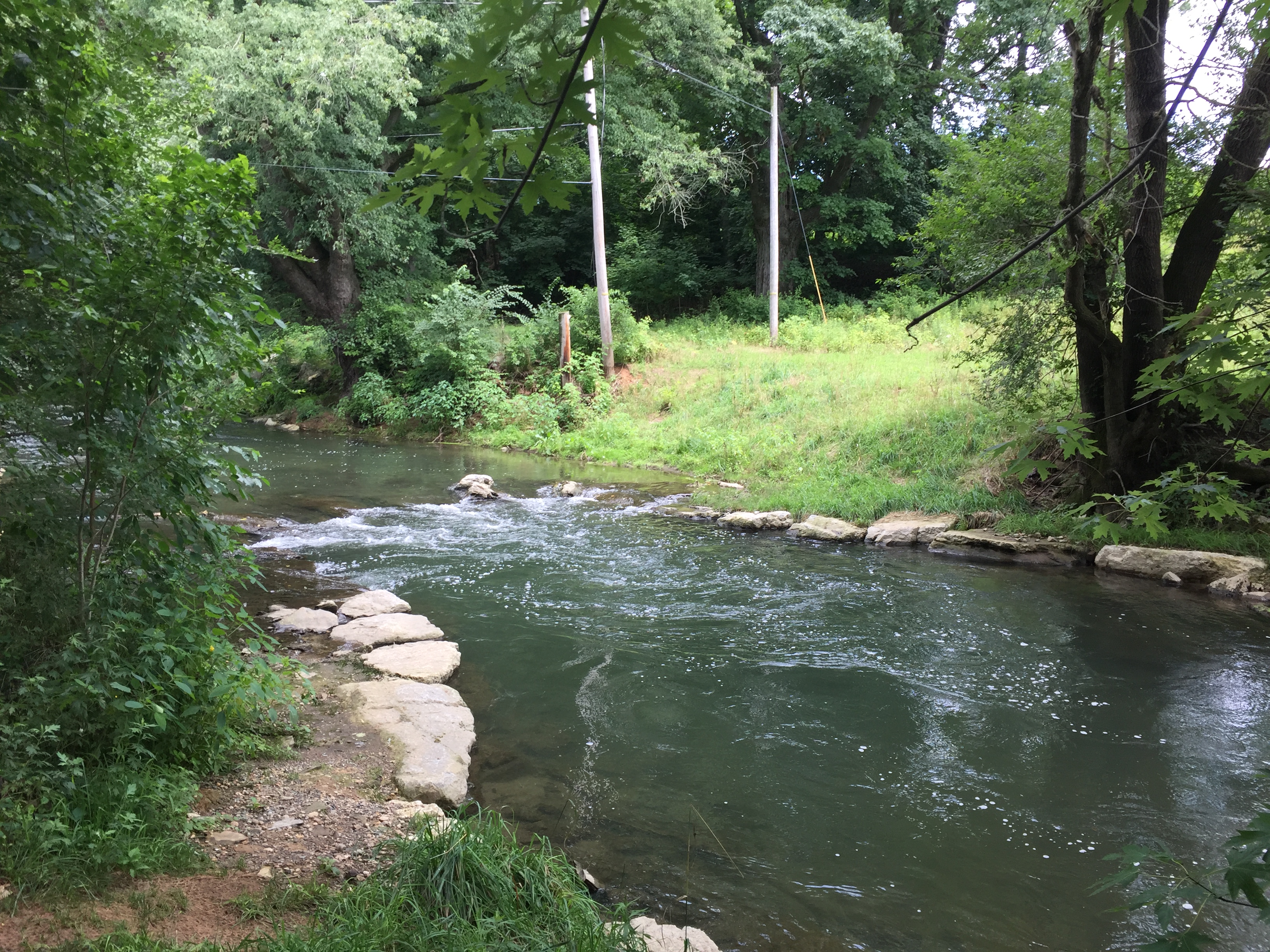
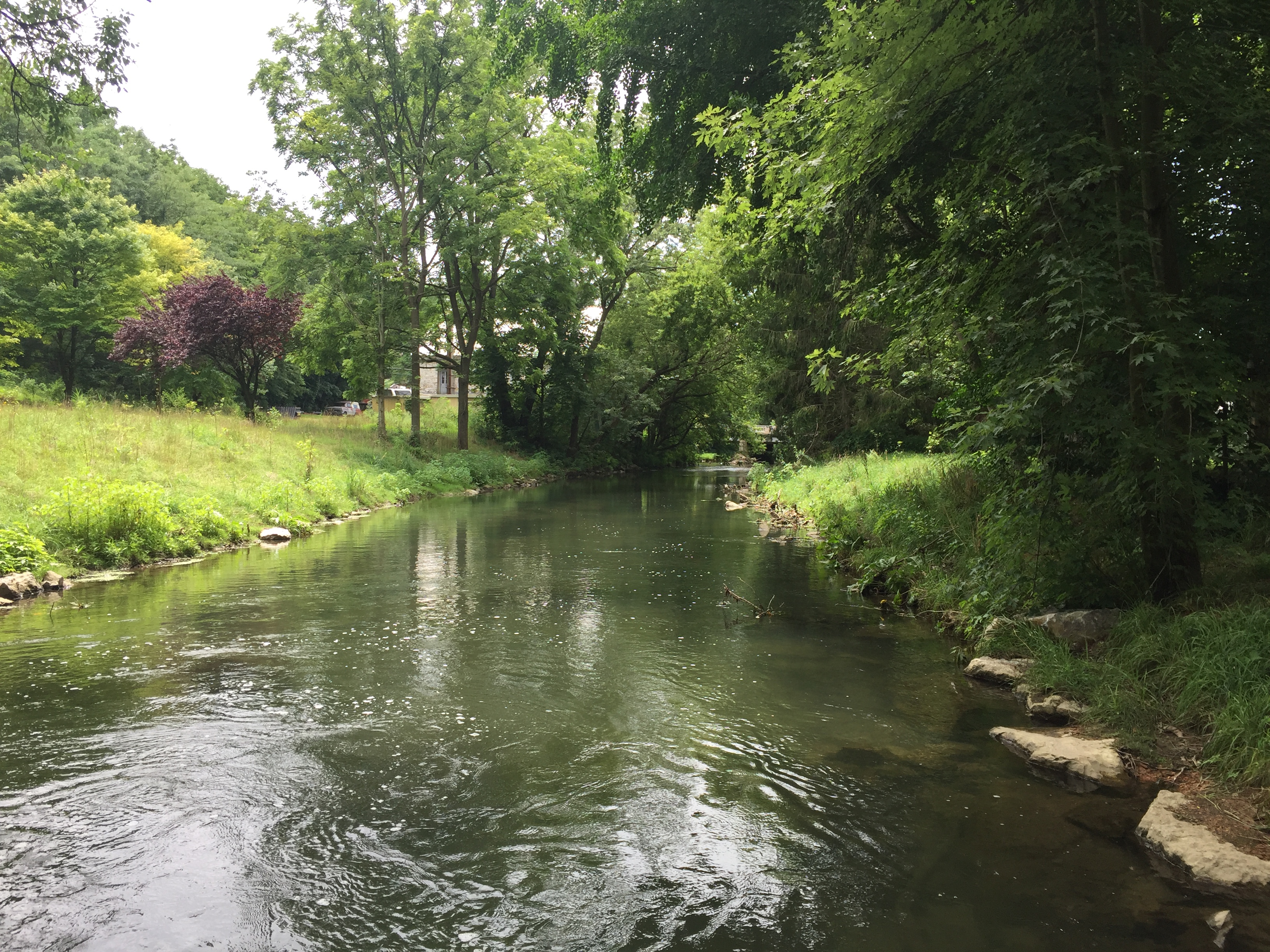
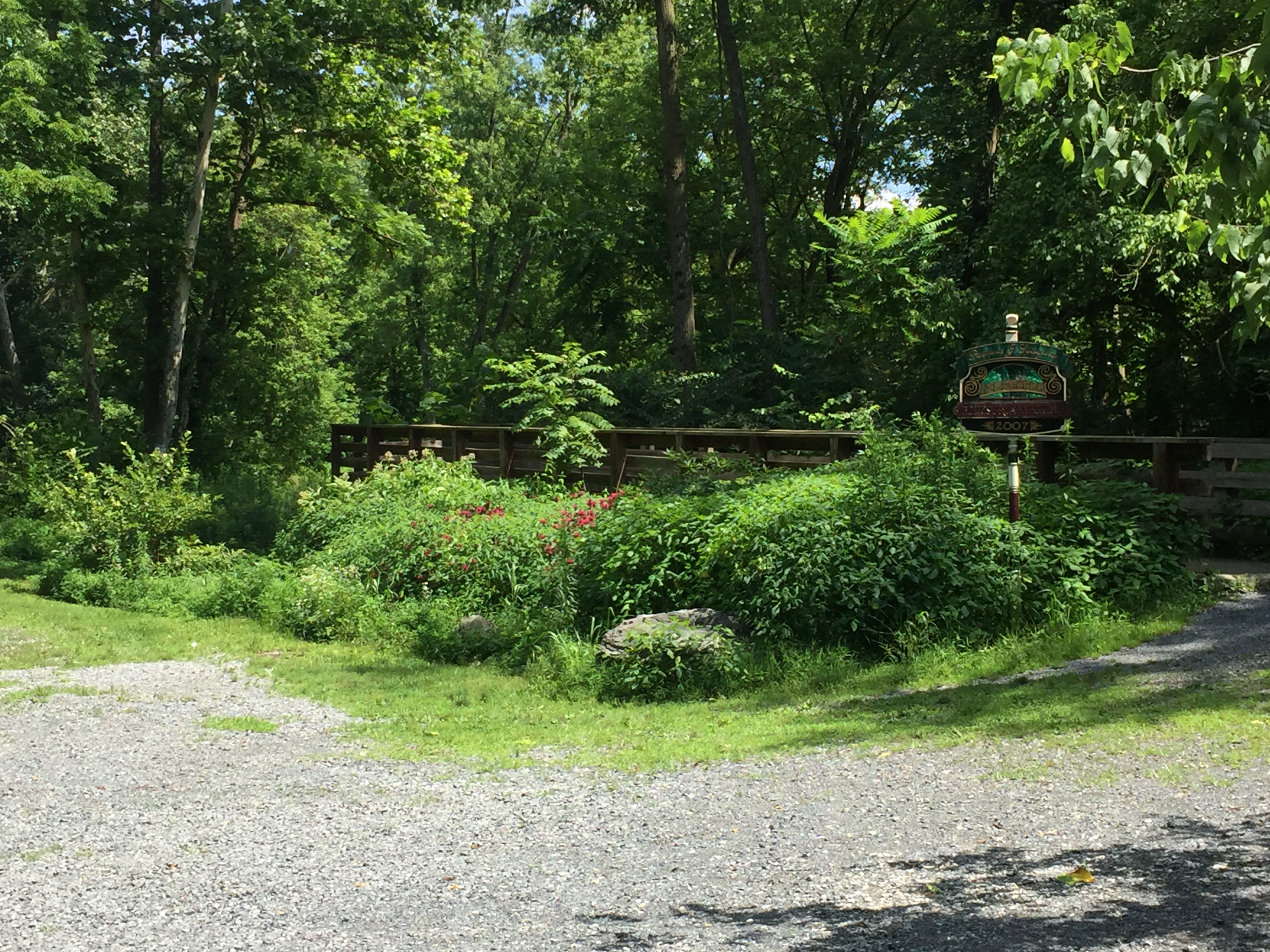
In 2009, Clear Creeks was contracted by the Lebanon Valley Conservancy to design, permit and provide construction management for the restoration of 3,450 LF of Quittapahilla Creek in the Quittie Creek Nature Park. Mr. Powell was Project Manager, Senior Scientist, Restoration Designer and Construction Manager. Skelly & Loy, Inc. provided engineering, survey and permitting support services. The project was constructed by Aquatic Resource Restoration Company. Phase 1 of the project was completed in 2013 and Phase 2 was completed in 2016.
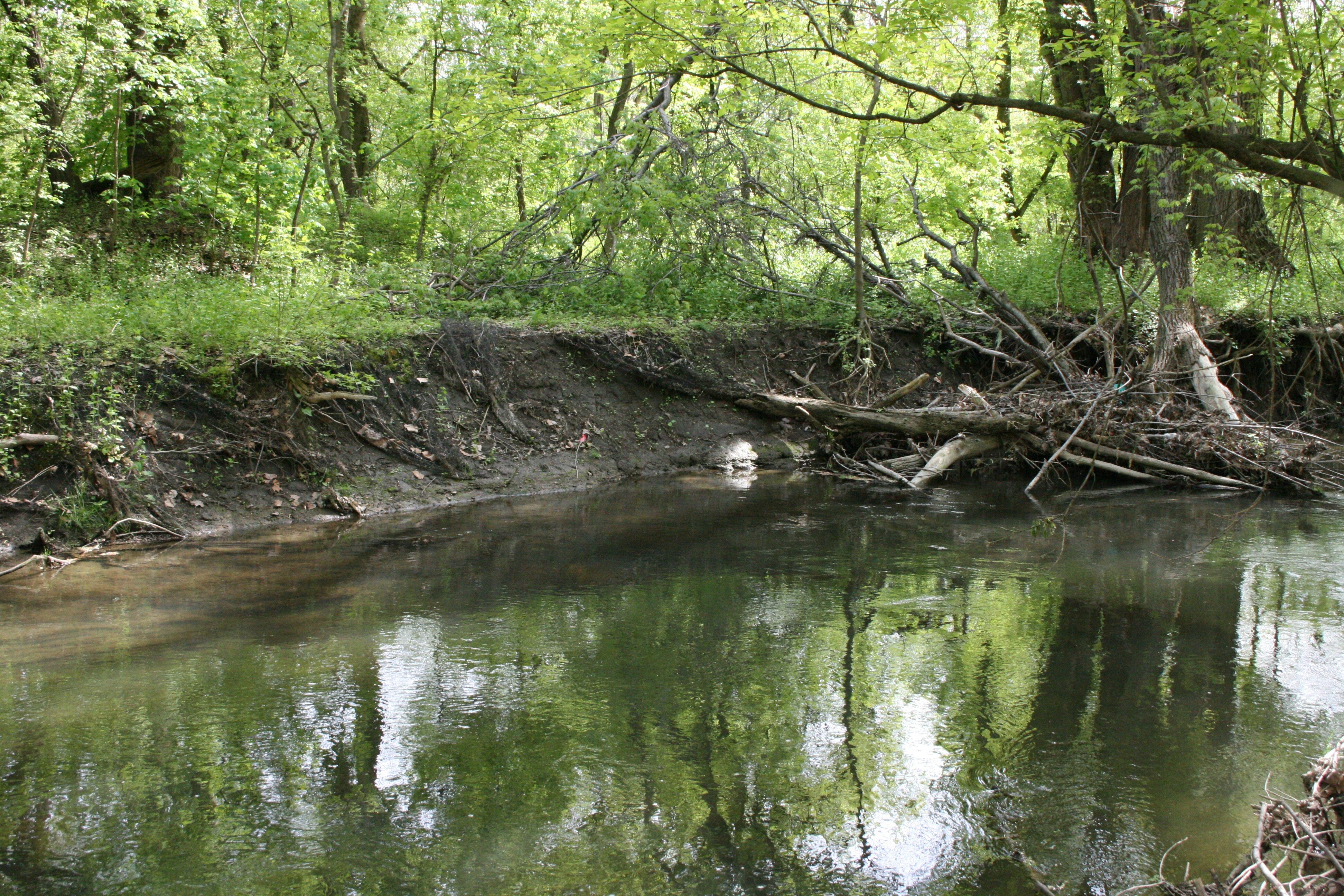
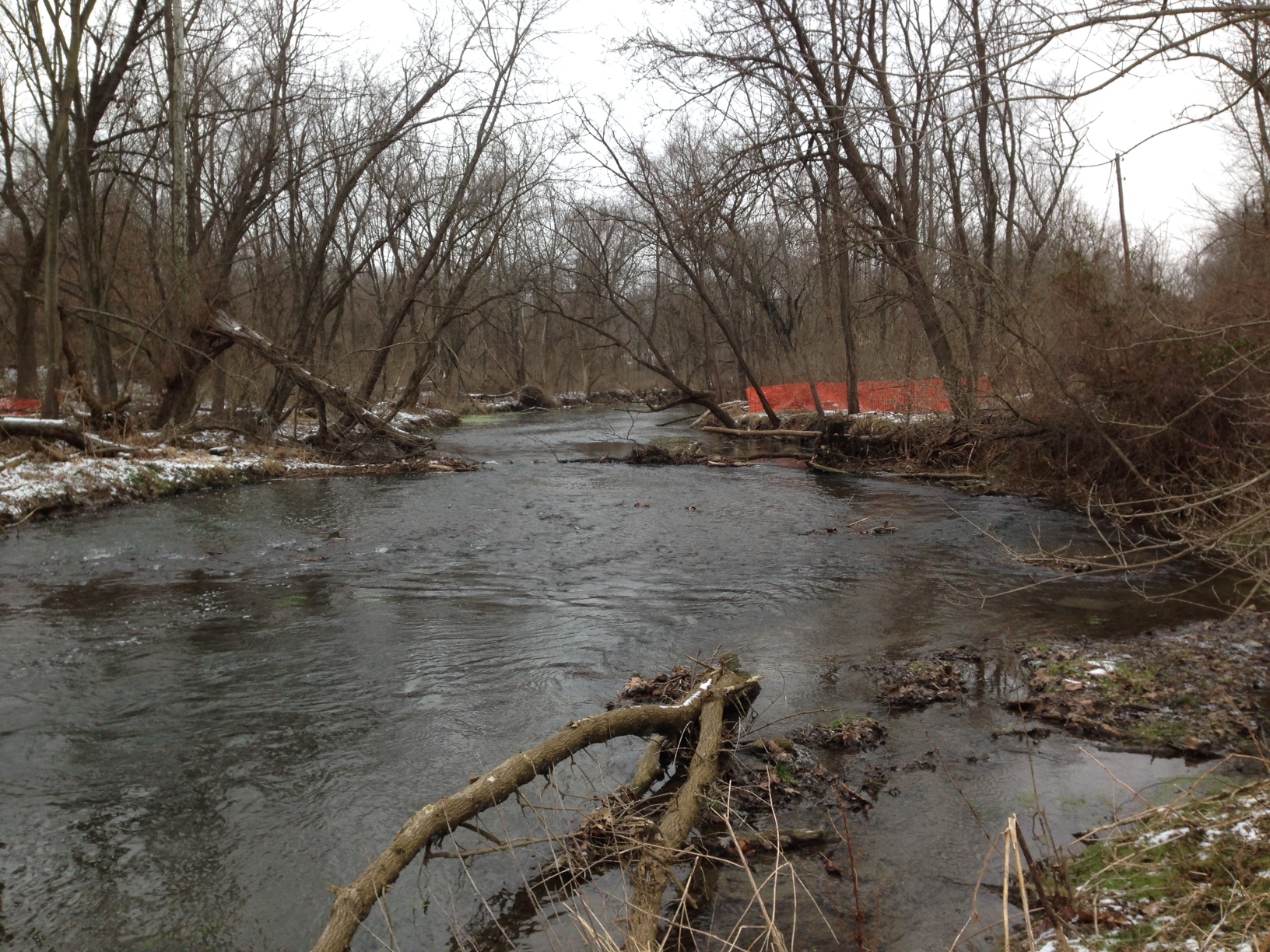
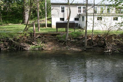
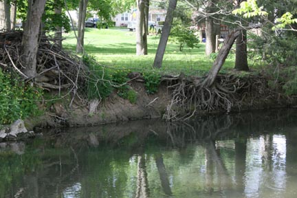
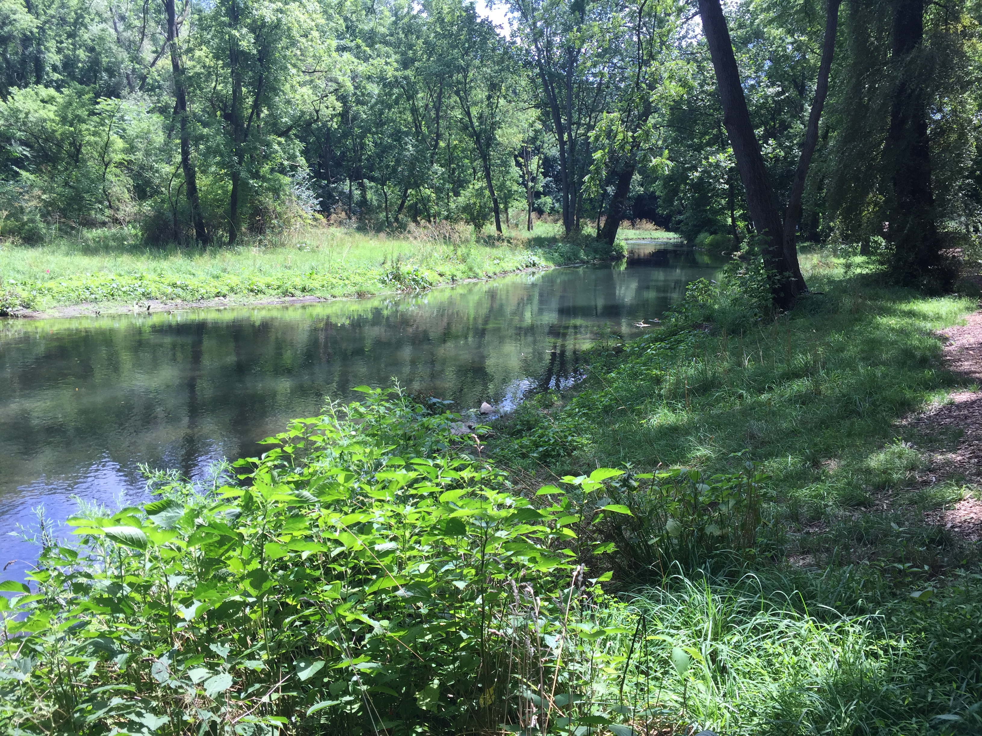
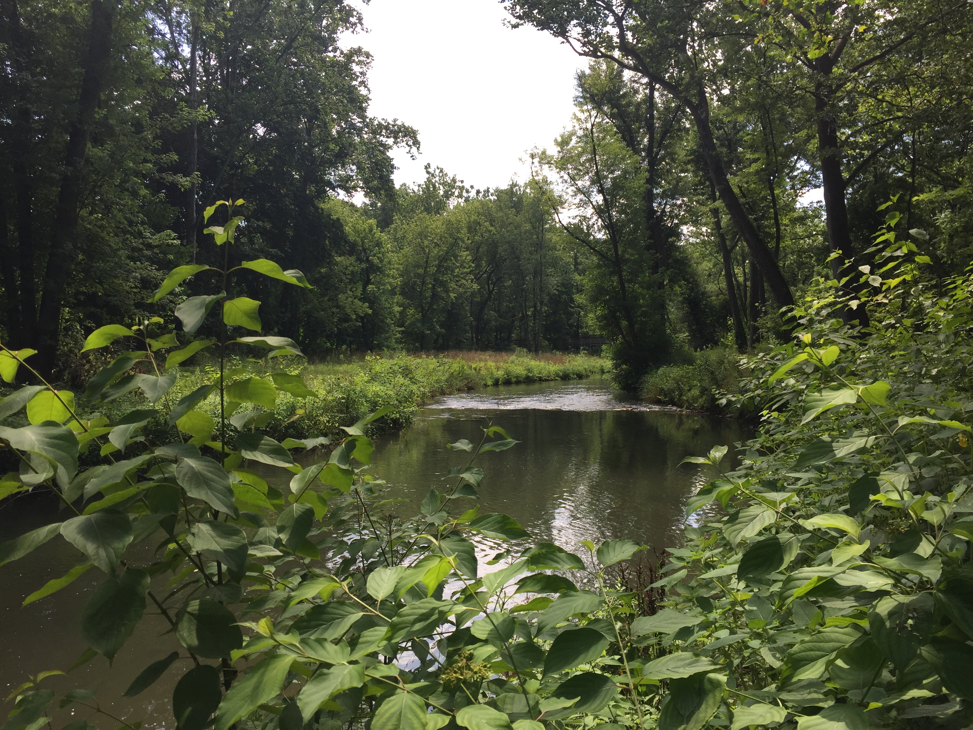
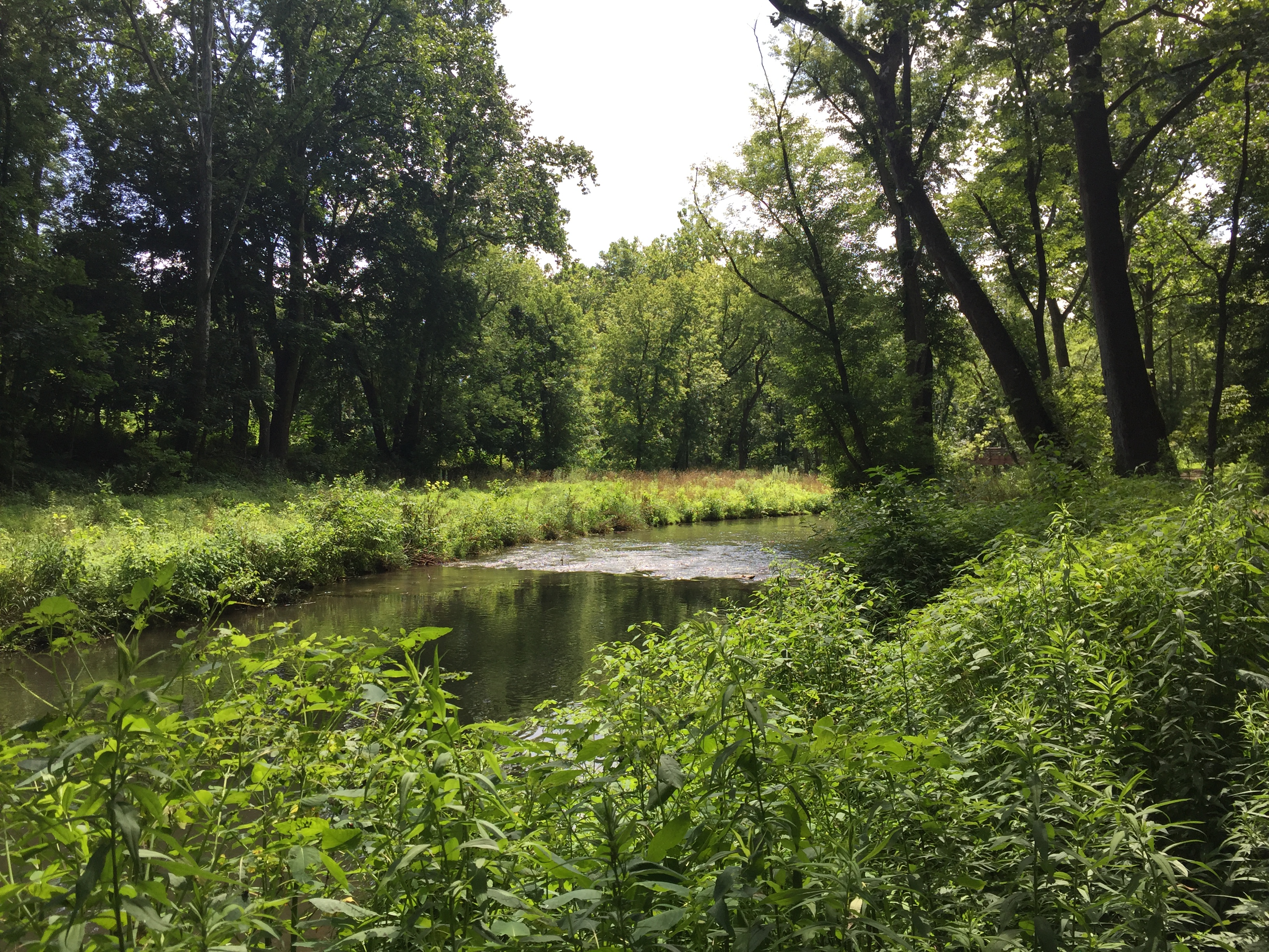
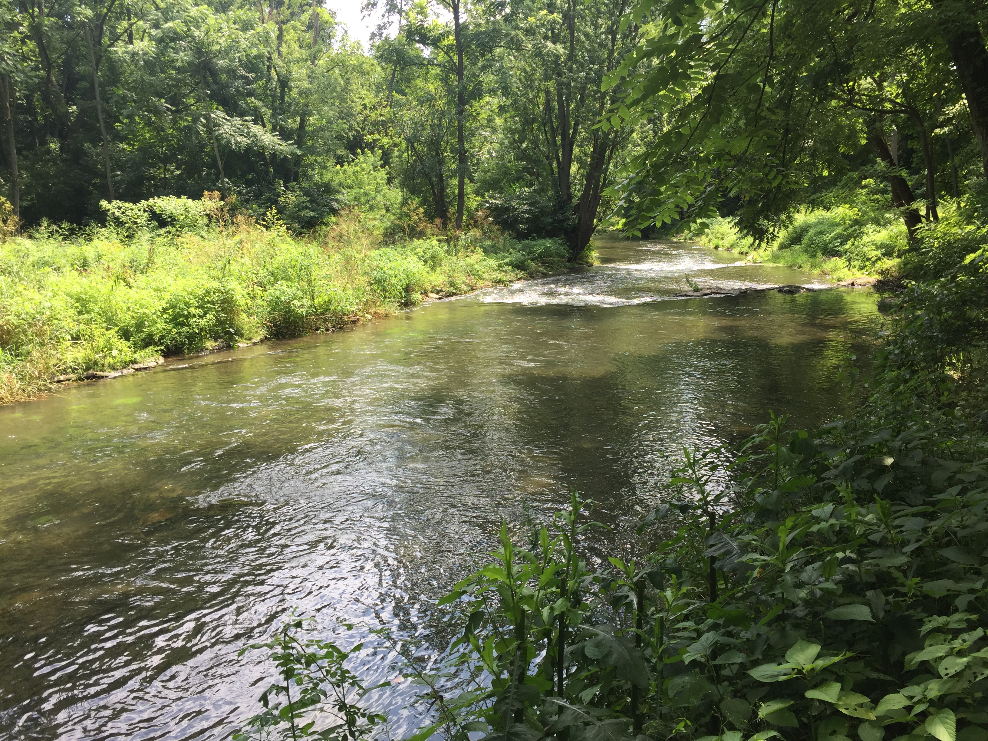
The project reaches drain a 44.9 square mile mixed use urban-suburban watershed. The results of the Watershed Assessment indicated that the stream reaches through the Quittie Creek Nature Park in Annville, were laterally and vertically unstable. Stability problems included high width to depth ratio, moderate to moderately high bank erosion, heavy sedimentation, aggradation (lateral and mid-channel bars) throughout. Bank erosion was a source of sediment to downstream reaches along Quittapahilla Creek, as well as Swatara Creek. The lack of sediment transport capacity was contributing to the streambank erosion. Undermined trees falling into the creek created debris jams which further accelerated sedimentation and bank erosion. Increased sedimentation had significantly degraded in-stream habitat resulting in few, shallow pools and riffles that were highly embedded with fine sediments. In addition, the remnants of an old mill dam created a barrier to fish migration under low flow conditions.
Technical Services:
- Coordination with the Lebanon Valley Conservancy, Quittapahilla Watershed Association and landowners involved in this project
- Verifying the bankfull channel and developing estimates of bankfull discharge
- Topographic surveys and existing conditions base maps
- Hydrologic and hydraulic analysis
- Level II and III Rosgen stream classifications and channel stability assessments, collecting and analyzing bulk sediment samples
- Wetland delineations and natural resource inventory
- Developing design criteria; conducting sediment entrainment analysis
- Preparing Findings and Design Reports
- Preparing Preliminary and Final Design Plans, Erosion and Sediment Control Plans and Construction Documents
- Preparing permit application packages and conducting pre-application meetings for local, state and federal permits
- Construction management services
Project Objectives
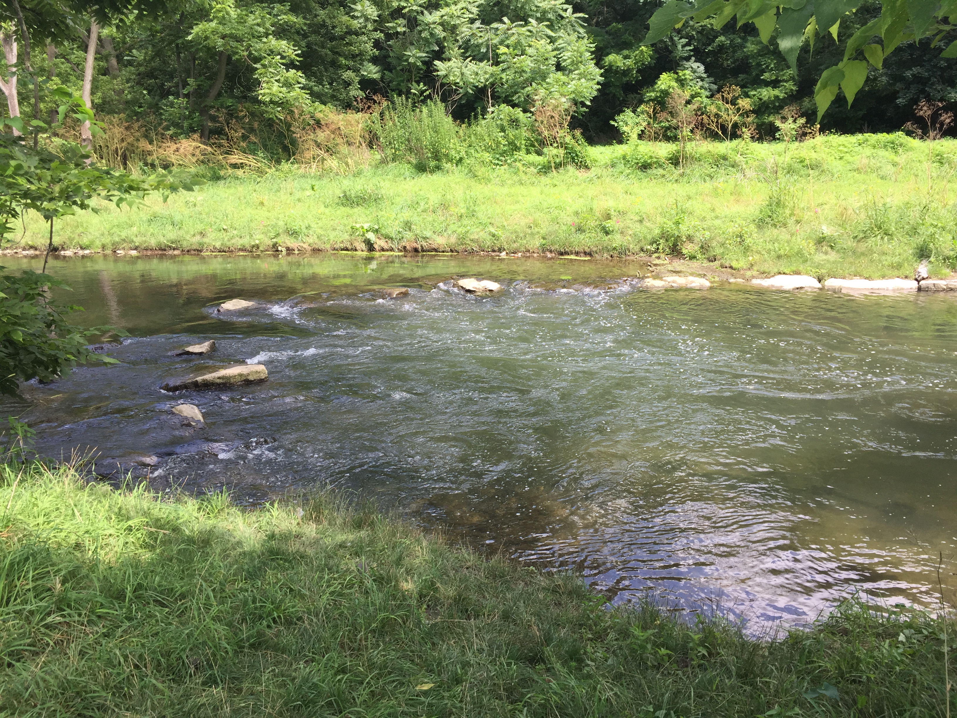
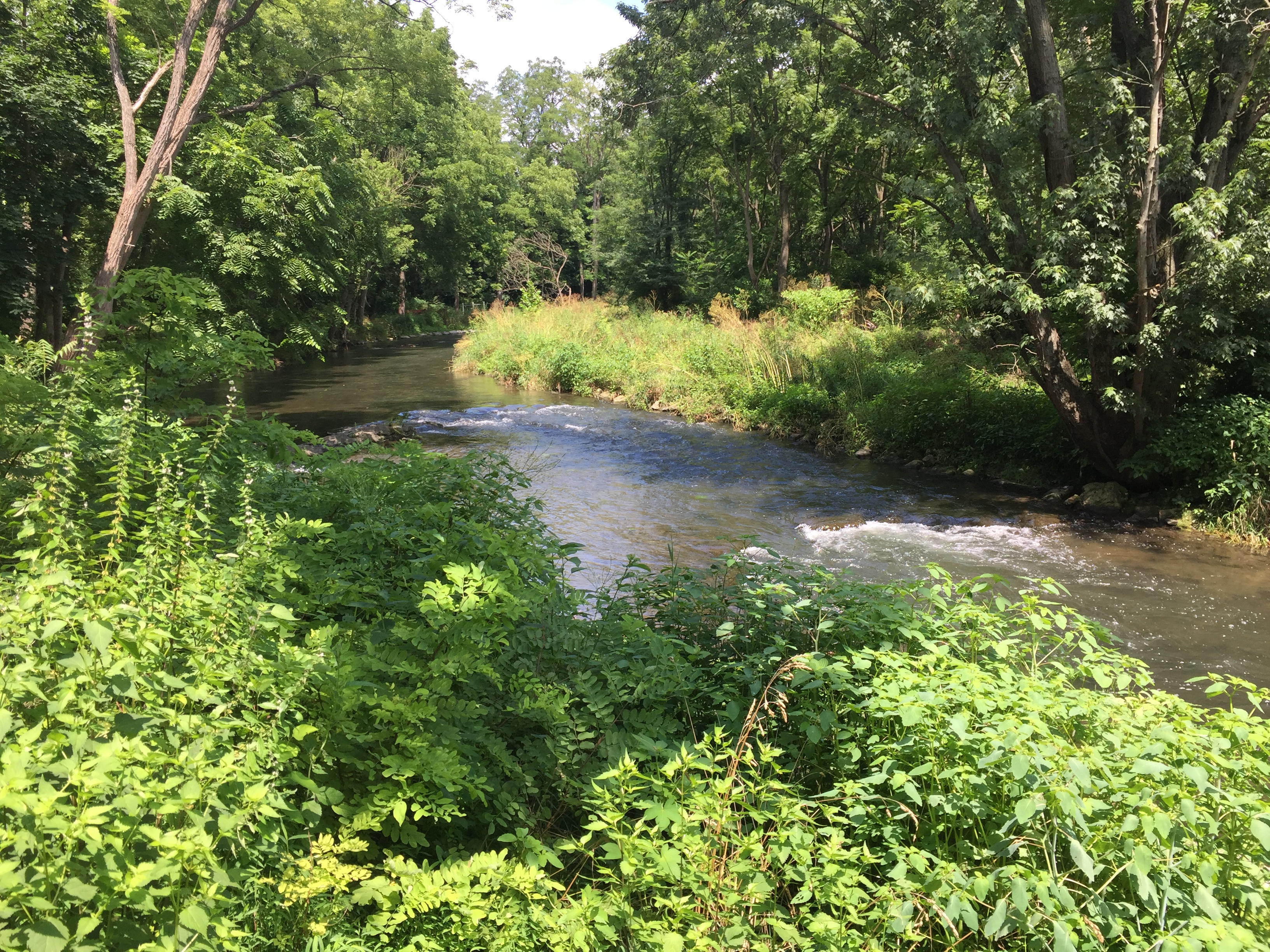
The objective of the proposed restoration project was to reestablish a narrower, stable channel cross-section, restore floodplain, stabilize eroding streambanks, reduce sediment loading to downstream reaches contributed by the eroding banks, improve sediment transport through the project area, restore fish passage through the upper project reach and improve in-stream habitat throughout the project area. The restoration approach involved:
Upper Reach
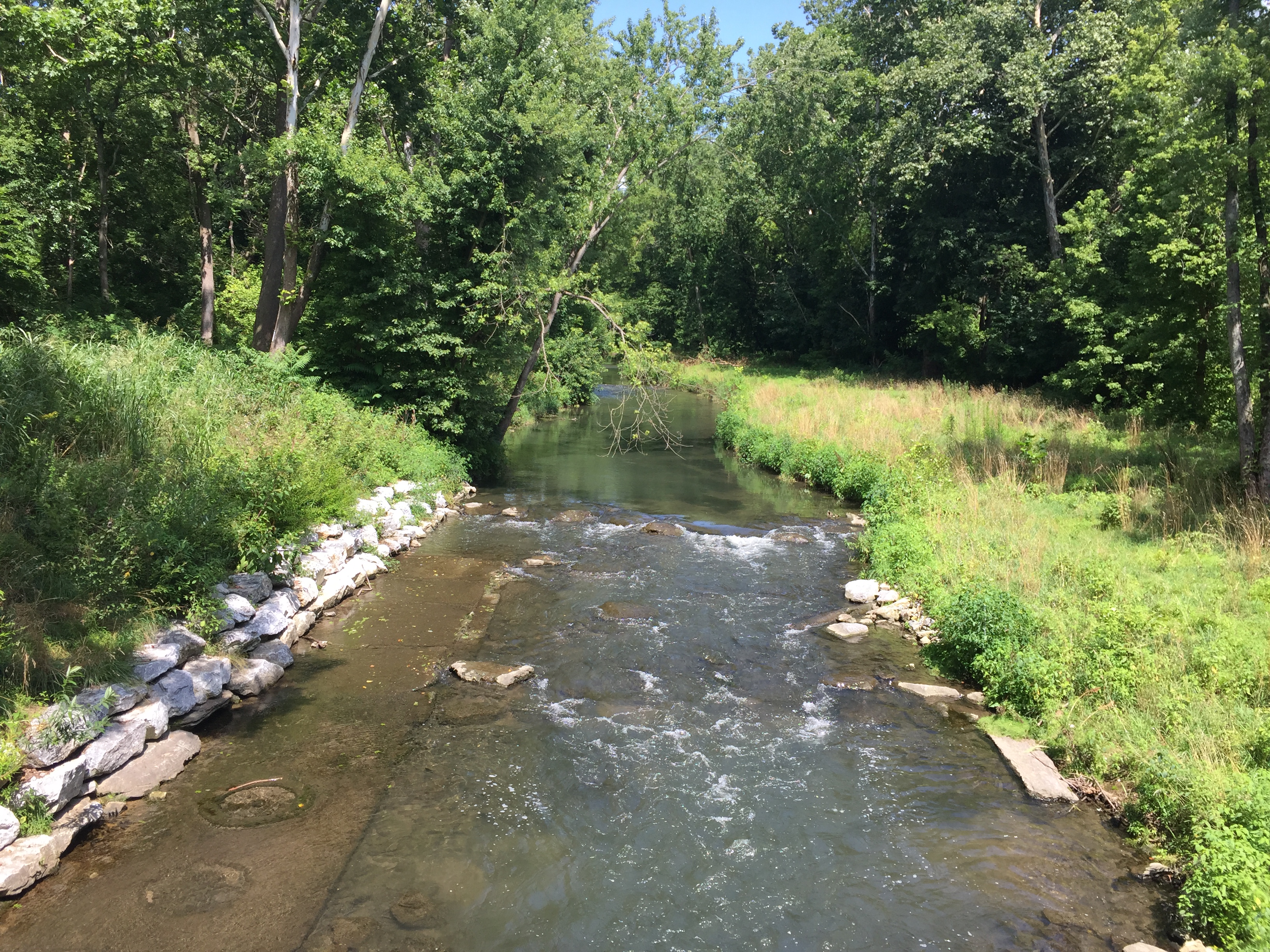
- Creating a narrower cross-section and improving sediment transport by installing toe benches and rebuilding banks along the channel margins
- Grading, reconstructing and stabilizing the eroding streambanks utilizing toe benches and toe wood with soil lifts, erosion control matting, and native grasses, trees and shrubs
- Modifying the channel profile to create streambed features that increase the pool to riffle ratio and improve overall pool and riffle habitat.
- Providing grade control, diverting flow away from the banks and creating in-stream habitat by installing in-stream structures such as boulder j-hooks and cross vanes, constructed riffles and boulder cascades.
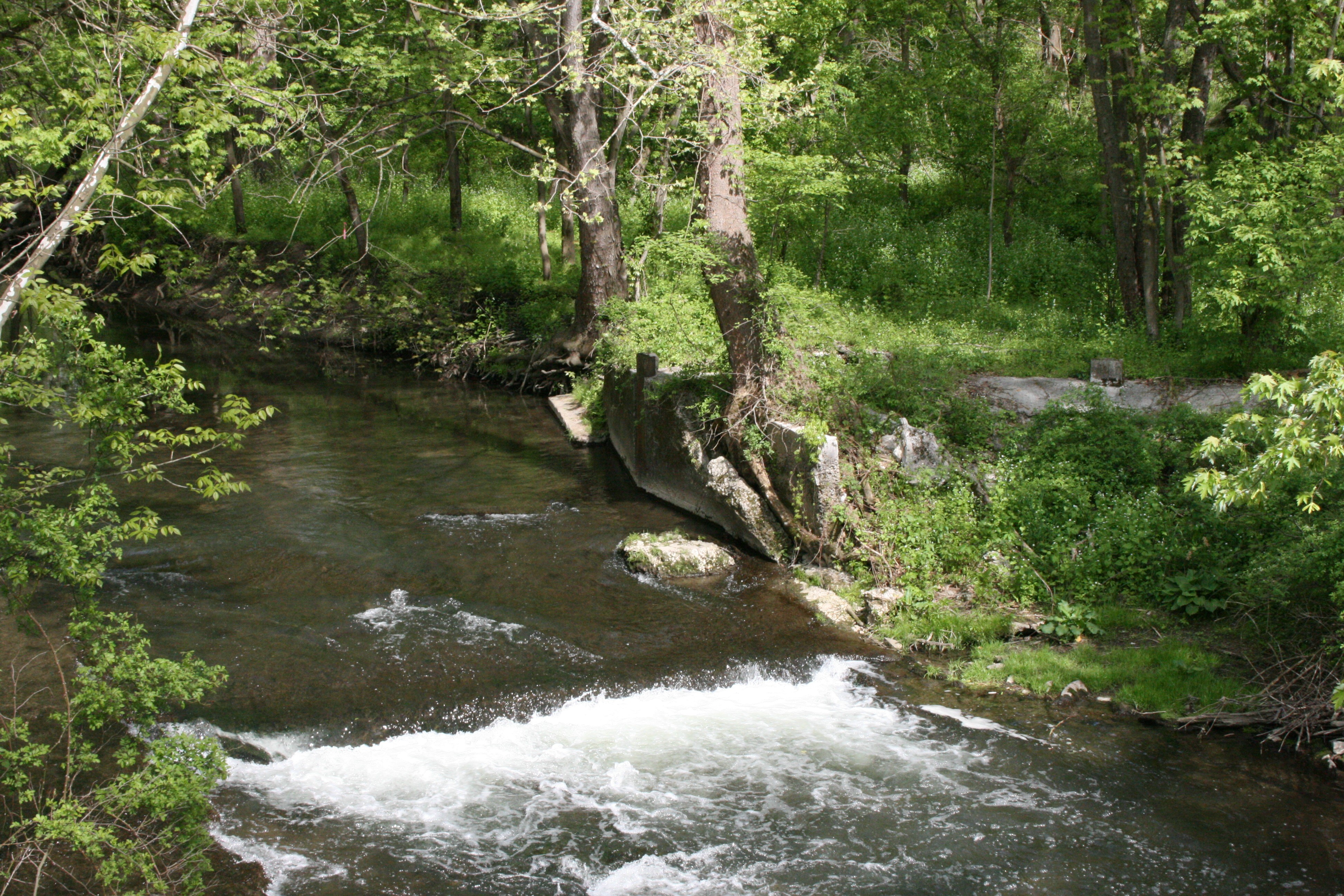
Old Mill Dam
- Removing the old dam spillway
- Reconstructing the channel section to provide fish passage by installing boulder cascades upstream, through, and downstream of the old dam
- Removing the old roadbed and rubble fill
- Grading and stabilizing the banks and floodplain.
Middle and Lower Reaches
- Creating a narrower cross-section and improving sediment transport by installing toe benches and rebuilding banks along the channel margins
- Grading, reconstructing and stabilizing the eroding streambanks utilizing toe benches and toe wood with soil lifts, erosion control matting, and native grasses, trees and shrubs.
- Modifying the channel profile to create streambed features that increase the pool to riffle ratio and improve overall pool and riffle habitat.
- Providing grade control, diverting flow away from the banks and creating in-stream habitat by installing in-stream structures such as boulder j-hooks and cross vanes, constructed riffles and boulder cascades.
Tributary
- Grading and stabilizing the eroding streambanks
- Reconstructing the channel section to provide grade control by installing boulder step-pools
Springs
Two of the three springs that enter Quittapahilla Creek along the project area were enhanced to provide summer temperature refugia for trout.
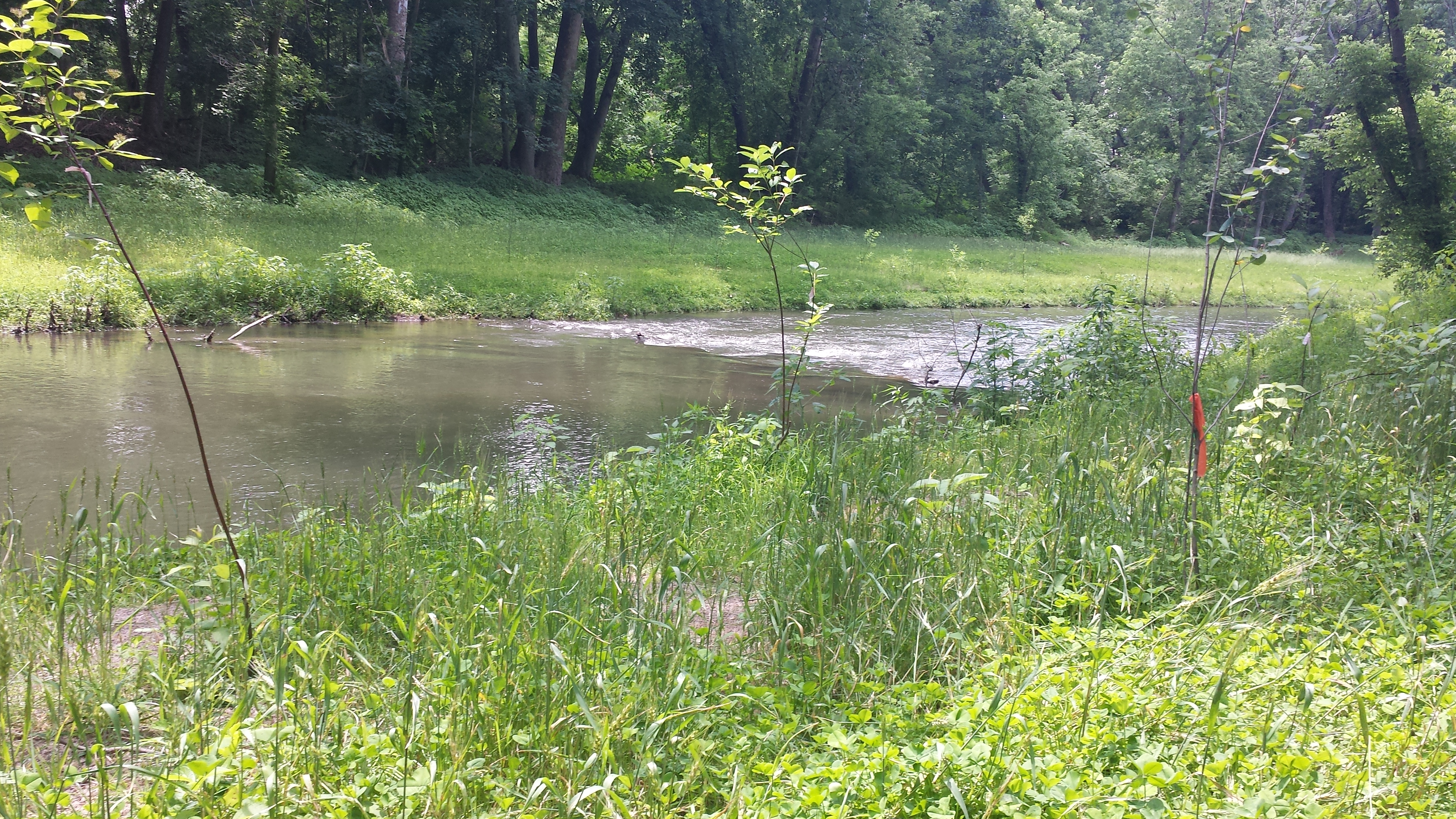
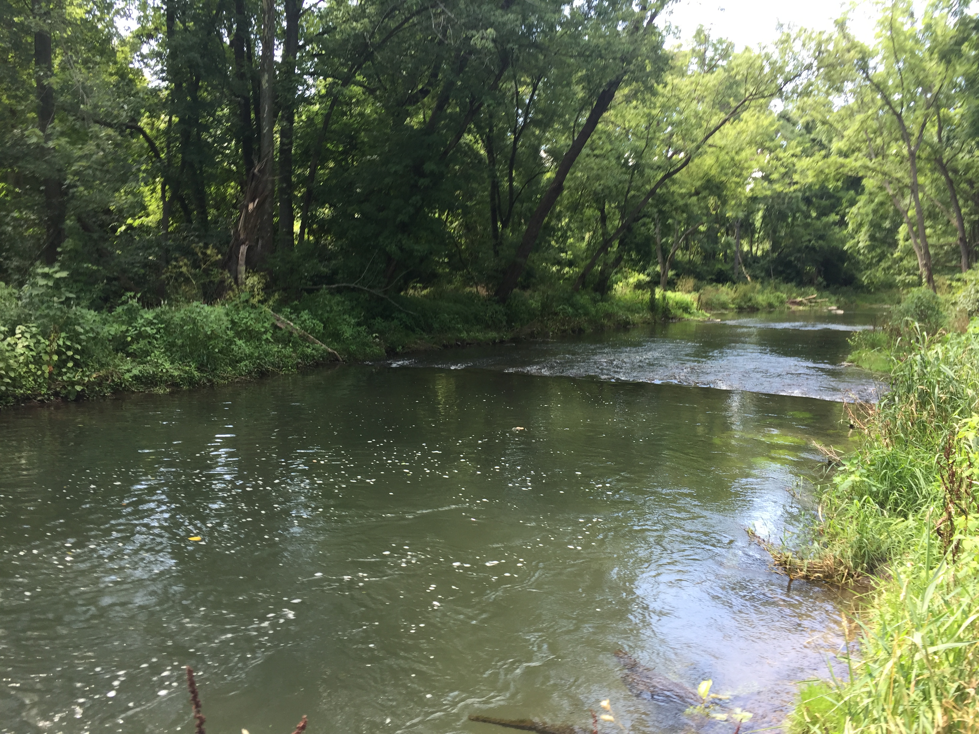
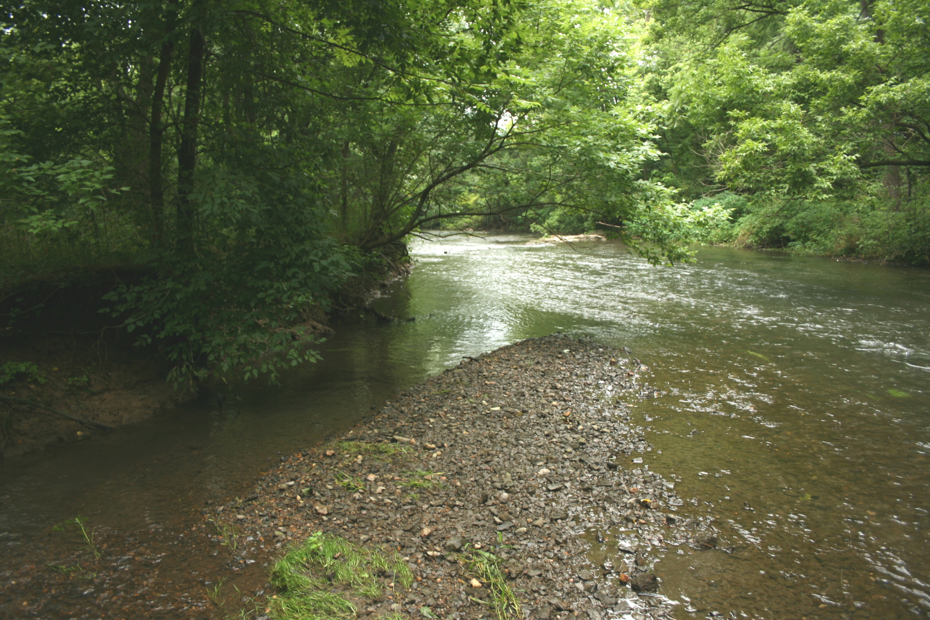
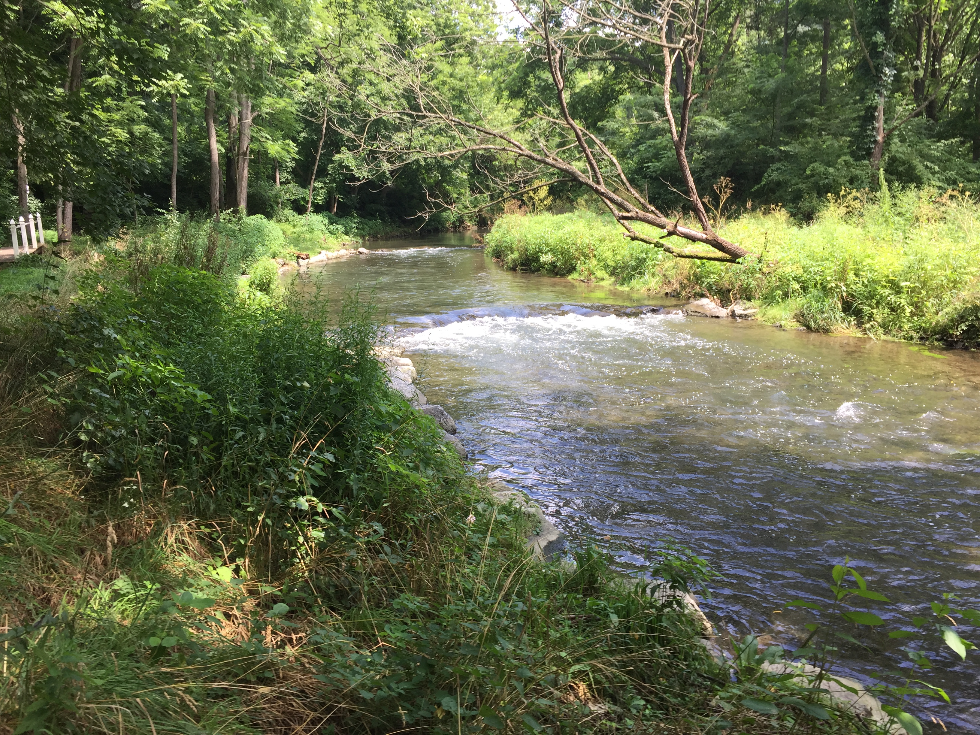
Before and After