Big Creek 2

Big Creek 2
Westfield, NC
The Resource Institute, Pilot View RC&D and Surry County SWCD
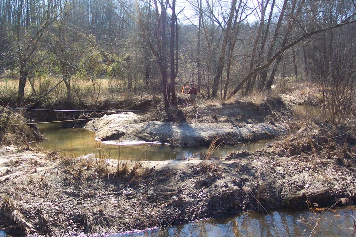
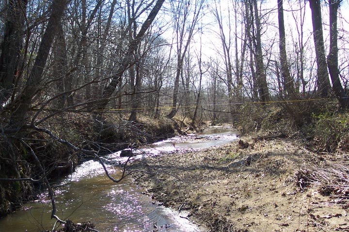
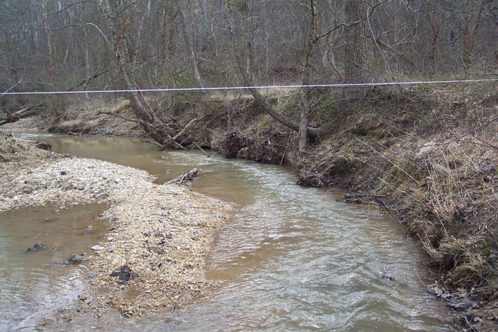
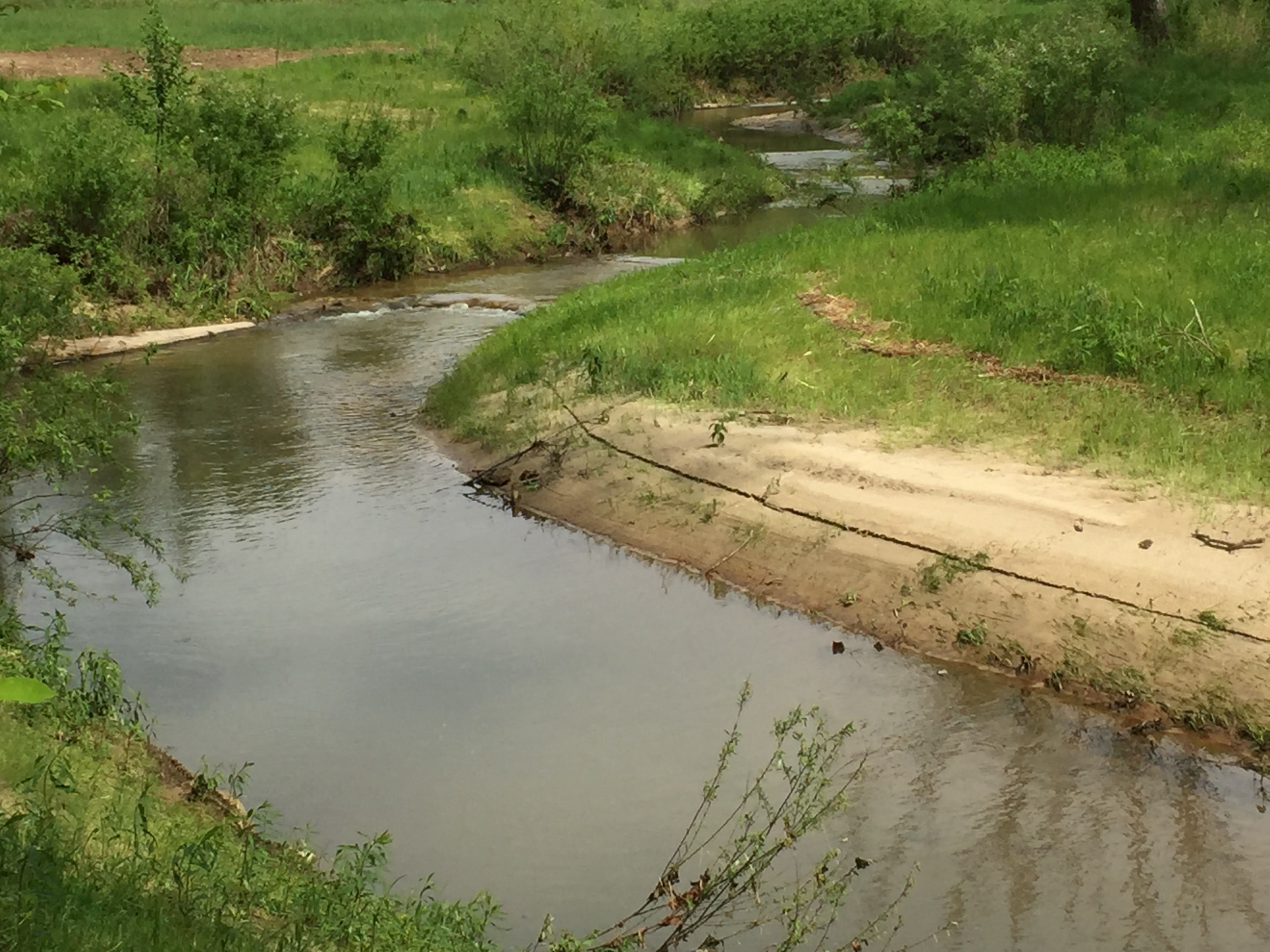
Big Creek is a third order tributary of the Dan River in the Roanoke River Basin. The Dan River is the main source of drinking water for the Town of Eden. The January 2008 Draft Report by the NC Division of Water Quality suggests that the North Carolina portion of the Dan River has some issues with turbidity and fecal coliform. The Resource Institute contracted Clear Creeks Consulting to conduct assessments, prepare designs, obtain permits and provide construction management for the restoration of 4,515 linear feet of Big Creek and three tributaries. The Big Creek watershed area is 6.32 square miles (4,044 acres) at the downstream end of the project.
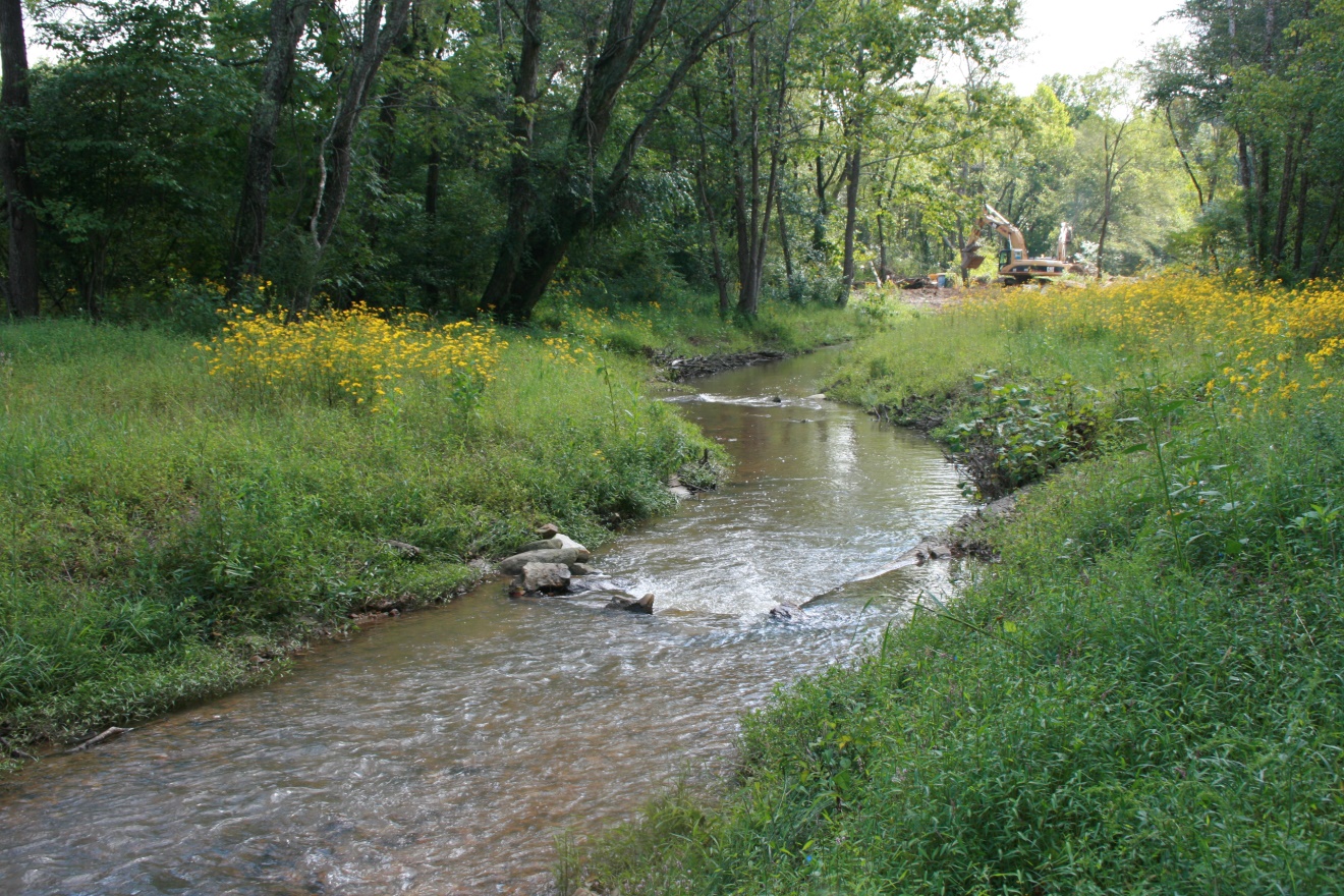
Mr. Powell was Project Manager, Senior Scientist, Restoration Designer and Construction Manager. BayLand Consultants and Designers, Inc., Foothills Consulting, Big Eagle Surveying and Stream Walker, Inc. provided engineering, survey and assessment support services. The project was constructed by North State Environmental. The project was completed in 2013.
Technical Services:
- Coordination with the Resource Institute, Surry County SWCD and the four landowners involved in the project;
- Verifying the bankfull channel and developing estimates of bankfull discharge;
- Topographic surveys and existing conditions base maps;
- Hydrologic and hydraulic analysis;
- Level II and III Rosgen stream classifications and channel stability assessments, collecting and analyzing bulk sediment samples
- Wetland delineations and natural resource inventory;
- Developing design criteria; conducting sediment entrainment analysis;
- Preparing Findings and Design Reports;
- Preparing Concept, Preliminary and Final Design Plans, Erosion and Sediment Control Plans and Construction Documents;
- Preparing permit application packages and conducting pre-application meetings for local, state and federal permits;
- Construction management services.
Project Objectives
The Resource Institute, Pilot View RC&D and the Surry Soil and Water Conservation District have a history of working with interested landowners to improve the water quality of streams on their property. This project involved restoration of Big Creek along the Rogers, Brannock, Polk and Tilley Properties near Mount Airy, North Carolina close to the Surry and Stokes County line. This was the second project on Big Creek.
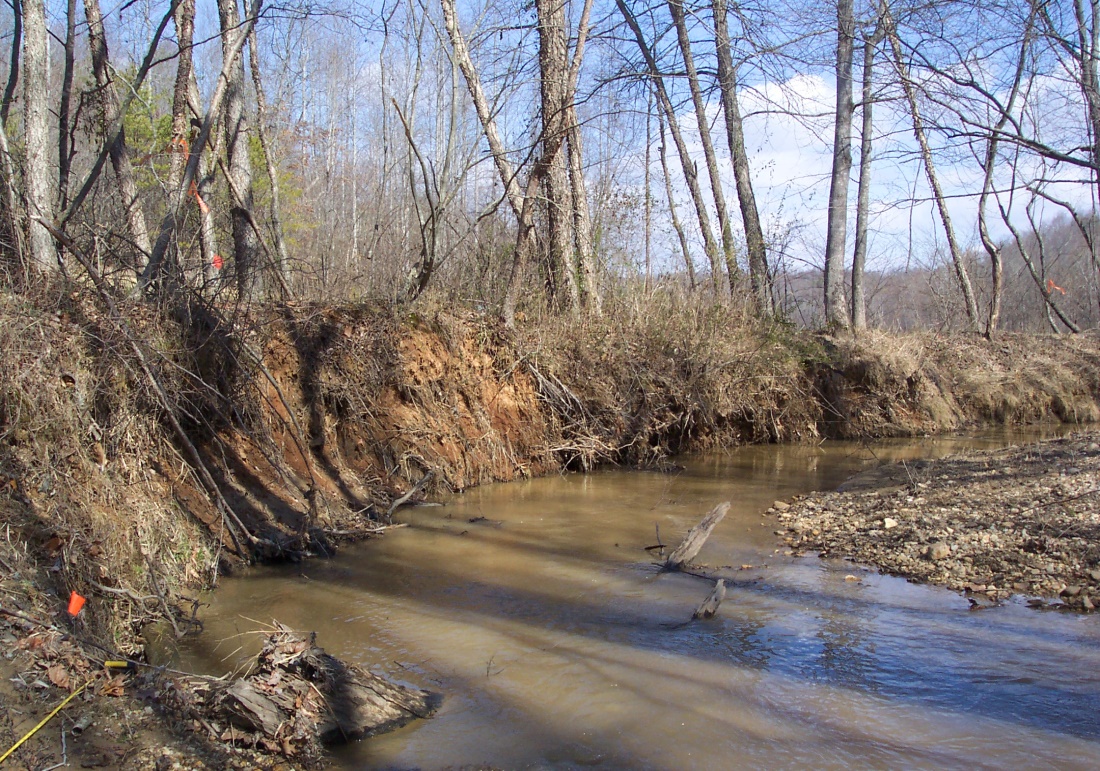
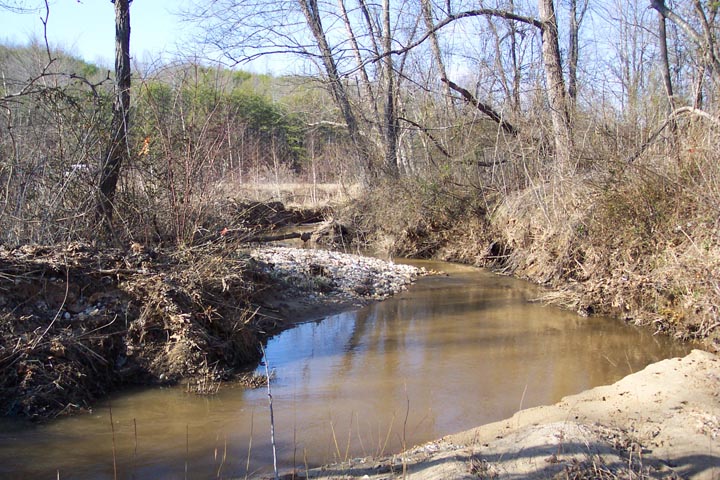
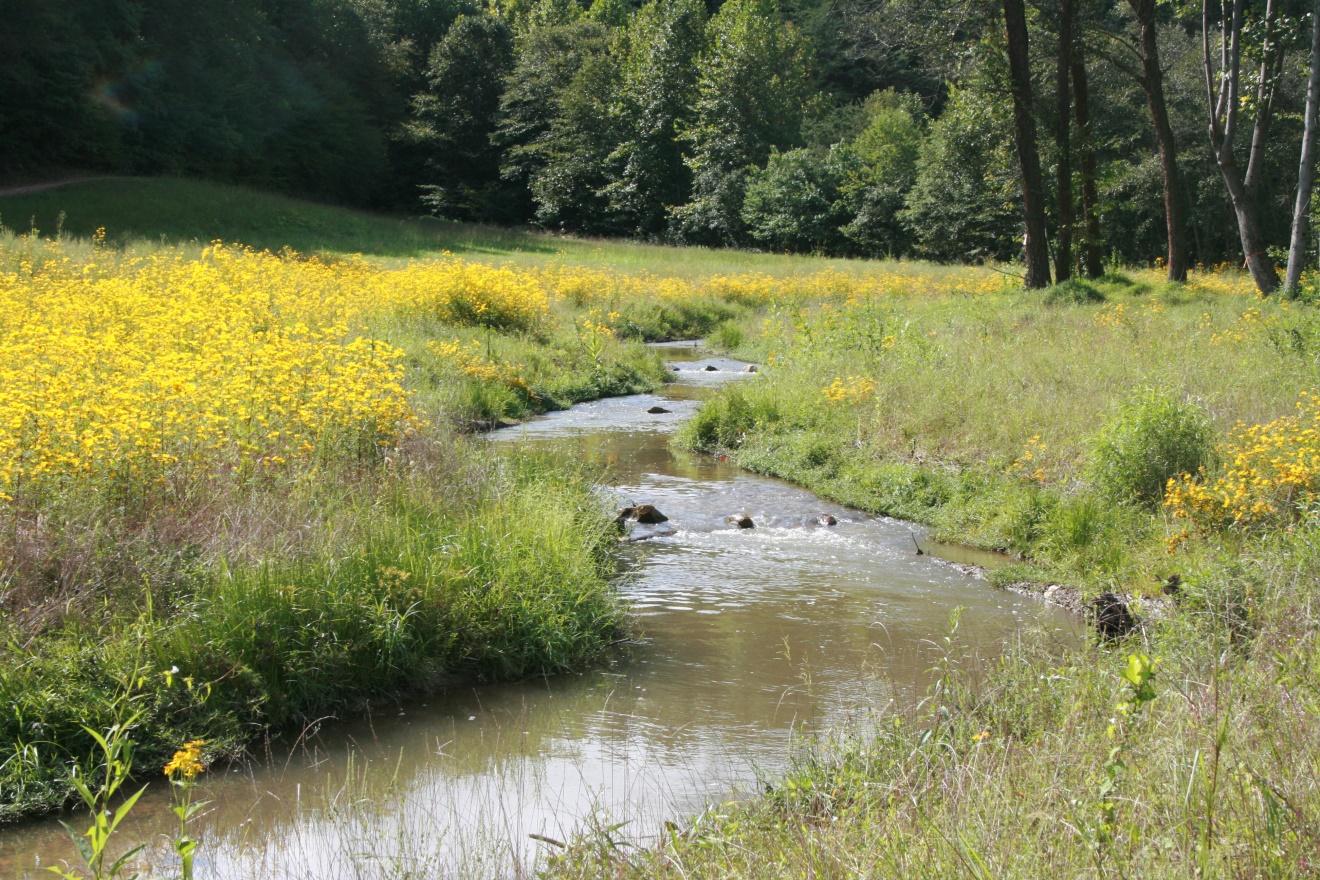
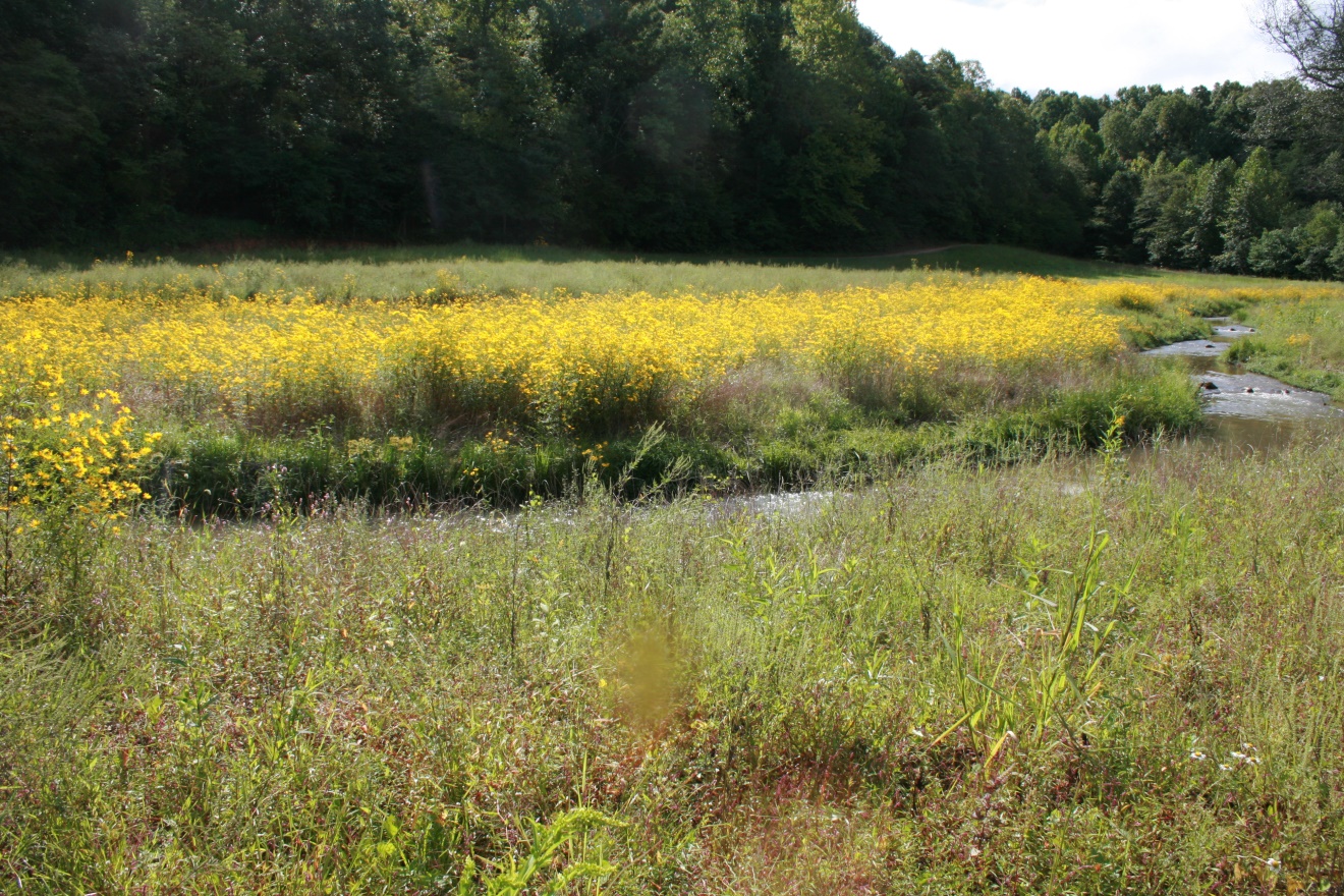
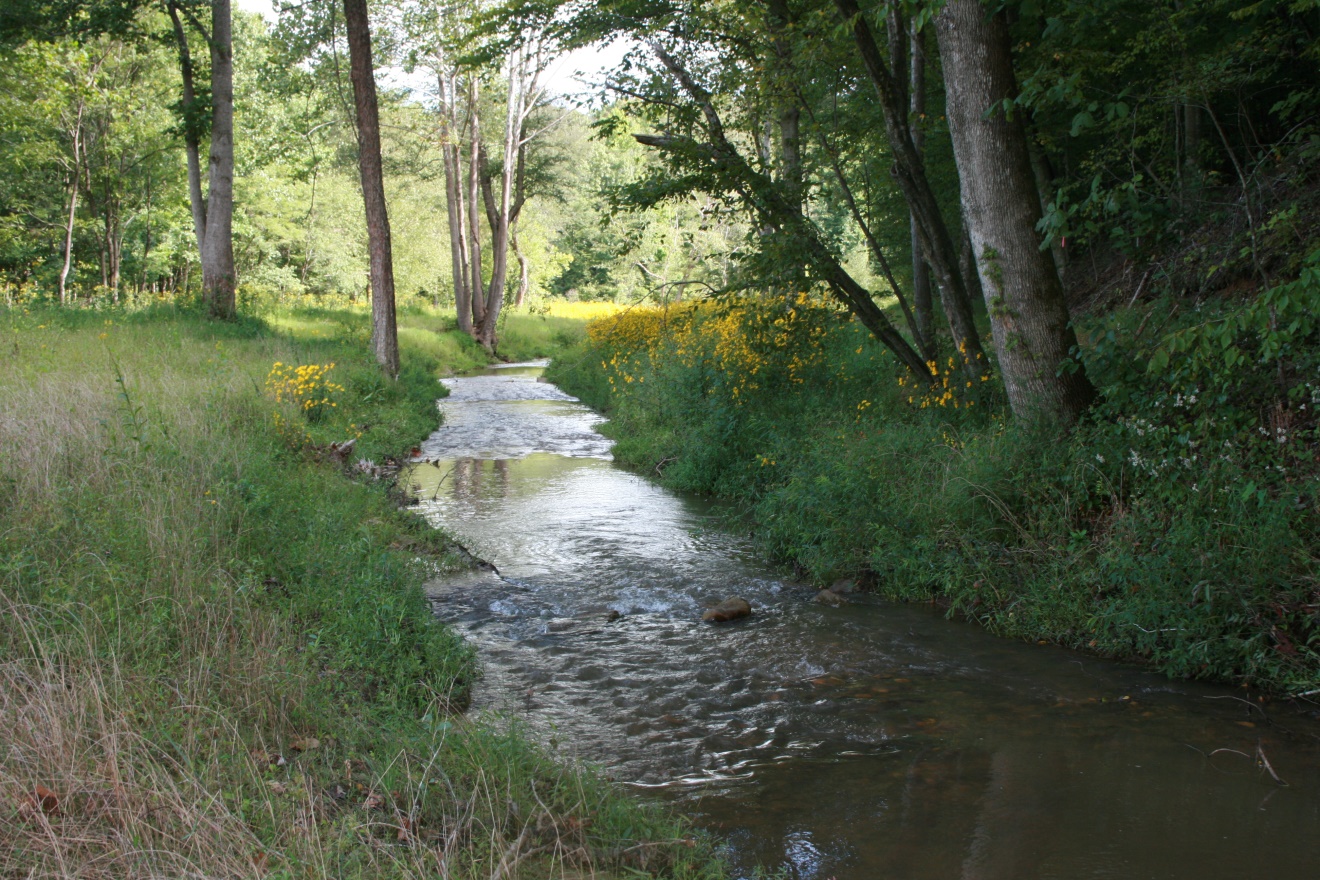
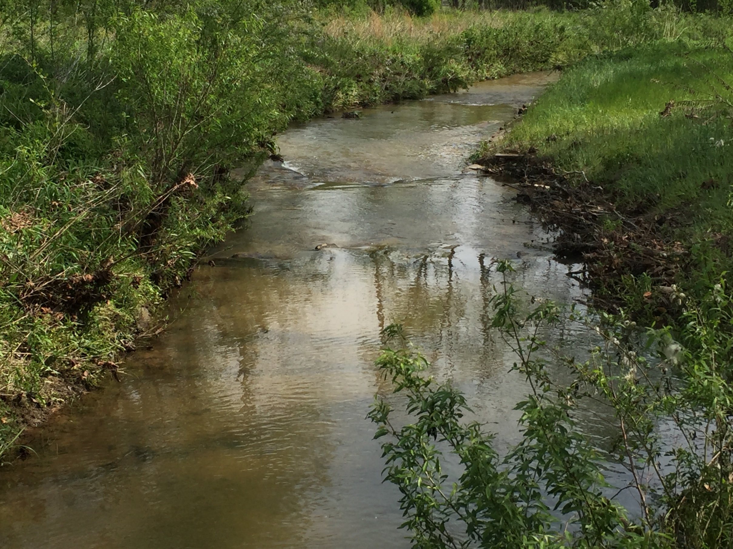
It was the intention of the Resource Institute, Pilot View RC&D and the Surry County Soil and Water Conservation District to correct the stream channel instability problems, improve water quality, enhance and/or restore natural floodplain characteristics, and reduce the loss of agricultural land by implementing an effective, long-term stream restoration plan for this section of Big Creek. The project improved the water quality of Big Creek by reducing sediment entering the stream corridor through unrestricted livestock grazing and stream bank erosion. It also improved habitat for aquatic organisms.
In 2008, Pilot View RC&D and the Surry SWCD worked with landowners to restore 4,300 linear feet of the upper reach of Big Creek and its tributaries . The Big Creek 2 project restored 4,515 linear feet of Big Creek and its tributaries immediately downstream of the first project. Completion of this phase of the overall restoration effort lengthened the restored portion of Big Creek to more than 8,815 linear feet.
Design Components
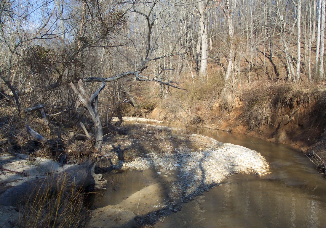
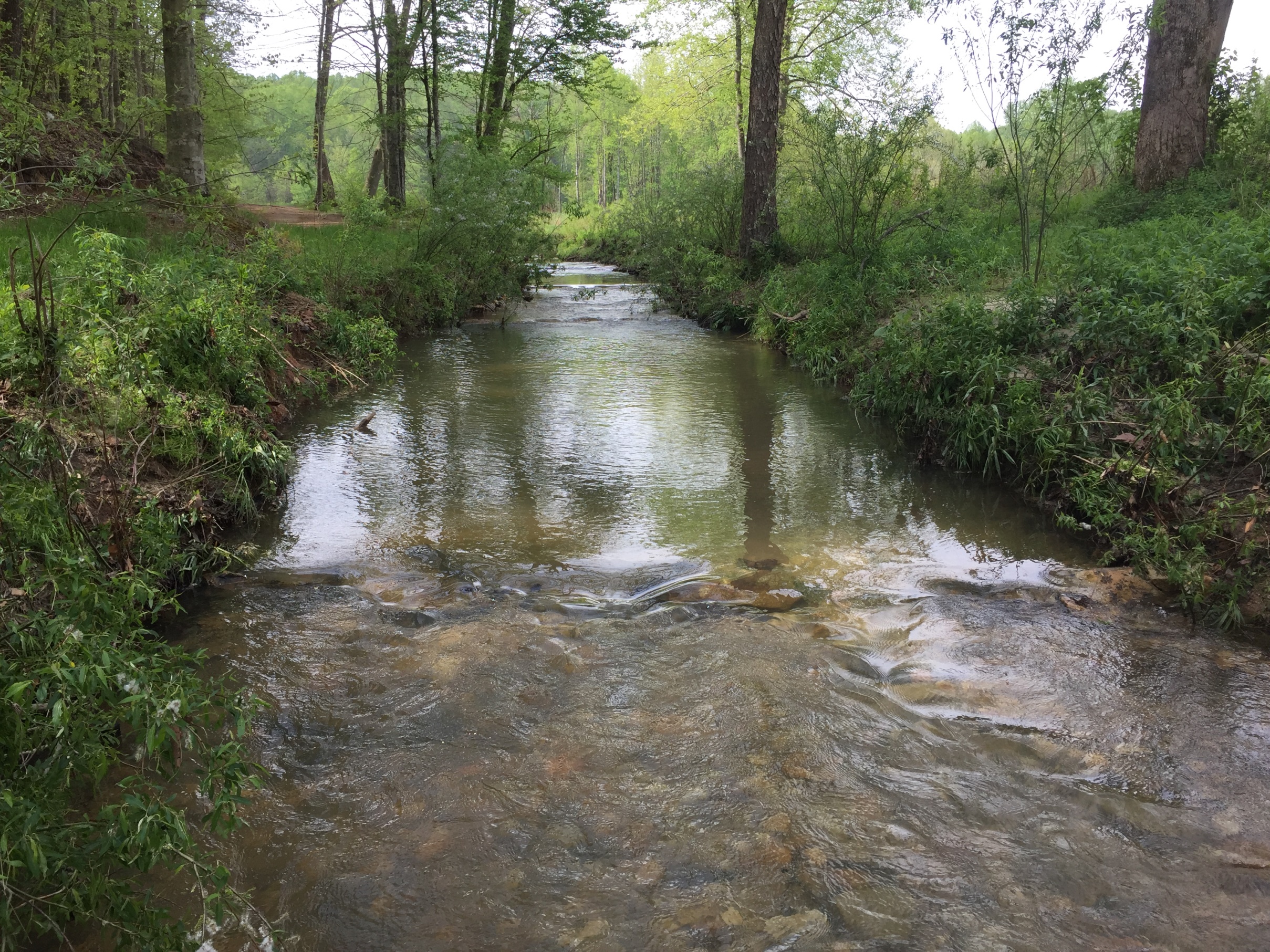
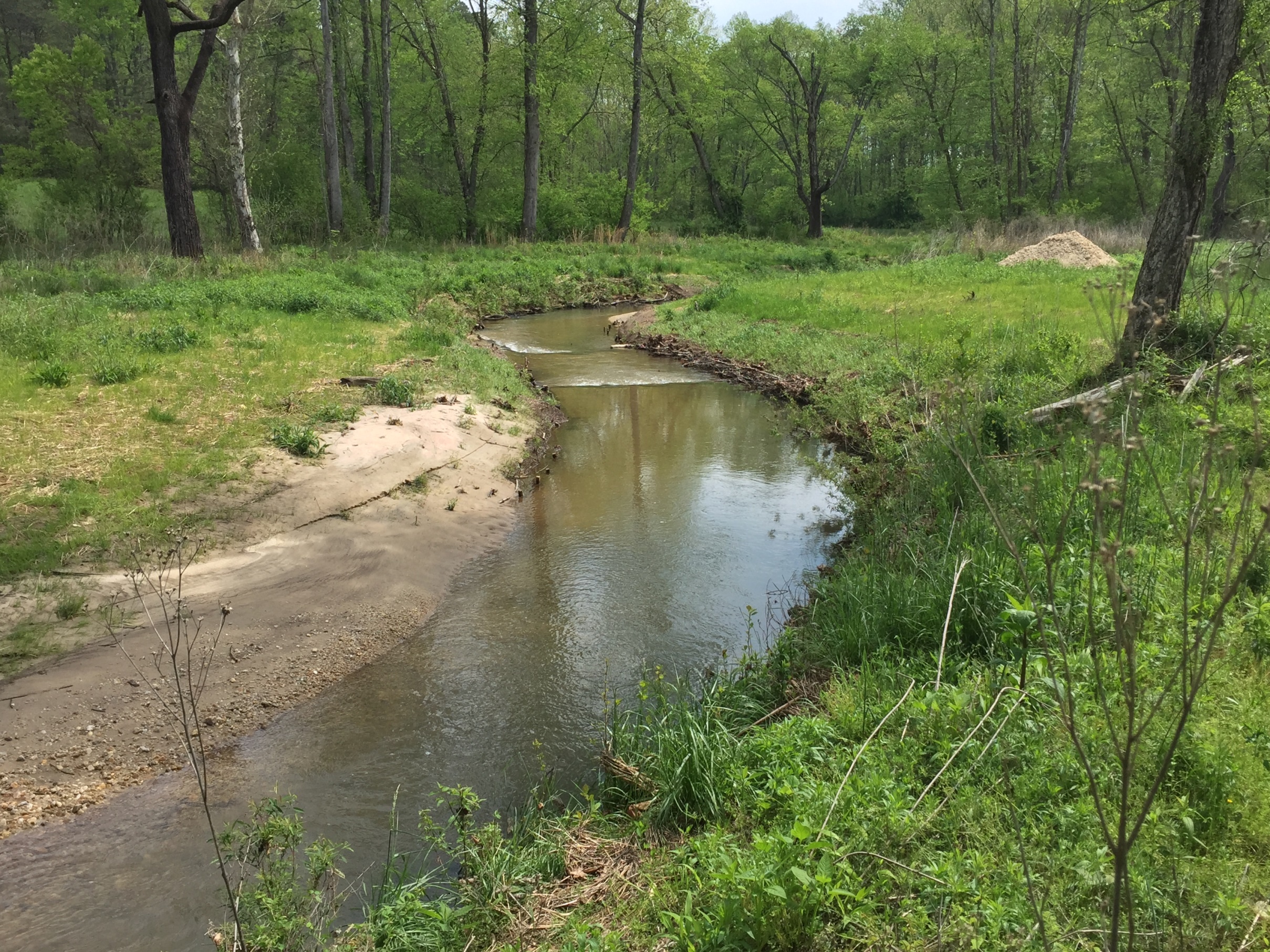
- Overall channel geometry and slope as modified to improve sediment transport capacity. This was accomplished by reconstructing unstable G4 and F4 reaches along the mainstem as stable B4c channels. Unstable C4 reaches along the main stem Big Creek were reconstructed as stable C4.
- Lower reaches of tributaries and their confluences were reconstructed to eliminate vertical stability problems in those areas.
- Reaches with high width/depth ratios were reconstructed with a narrower baseflow and bankfull channel to improve habitat as well as sediment transport. This was accomplished by constructing bankfull benches along the channel margin.
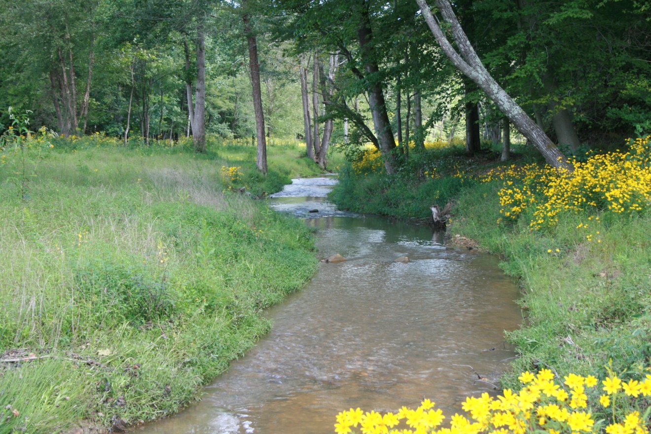
- High, vertical banks on the outside of the meander bends as well as the adjacent floodplain were excavated and graded to establish a better angle of repose on the banks, increase floodprone area, and lower the bankfull to bank height ratio. Particular emphasis was placed on grading those banks lacking woody vegetation and preserving those banks that were well vegetated with trees and shrubs.
- Meander geometry was modified to increase radii of curvature on bends where the radii of curvature were extremely low, that is smooth out the tight bends. This reduced the backwater effect and sediment deposition caused by these tight bends and increased the overall channel gradient and sediment transport capacity.
- Where channel reaches were eroding terraces and steep hill slopes, they were relocated away from these areas and the terraces and slopes reconstructed.
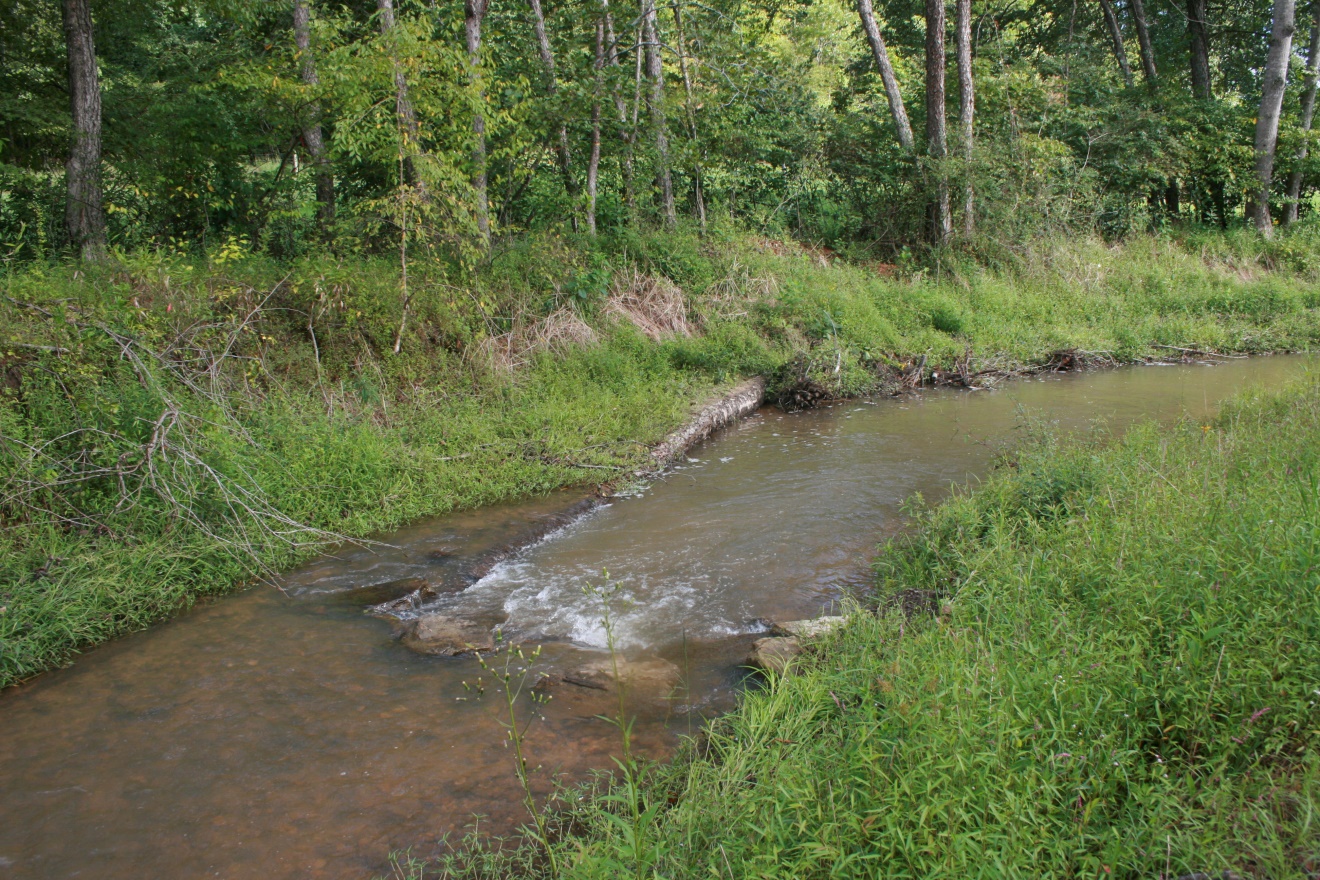
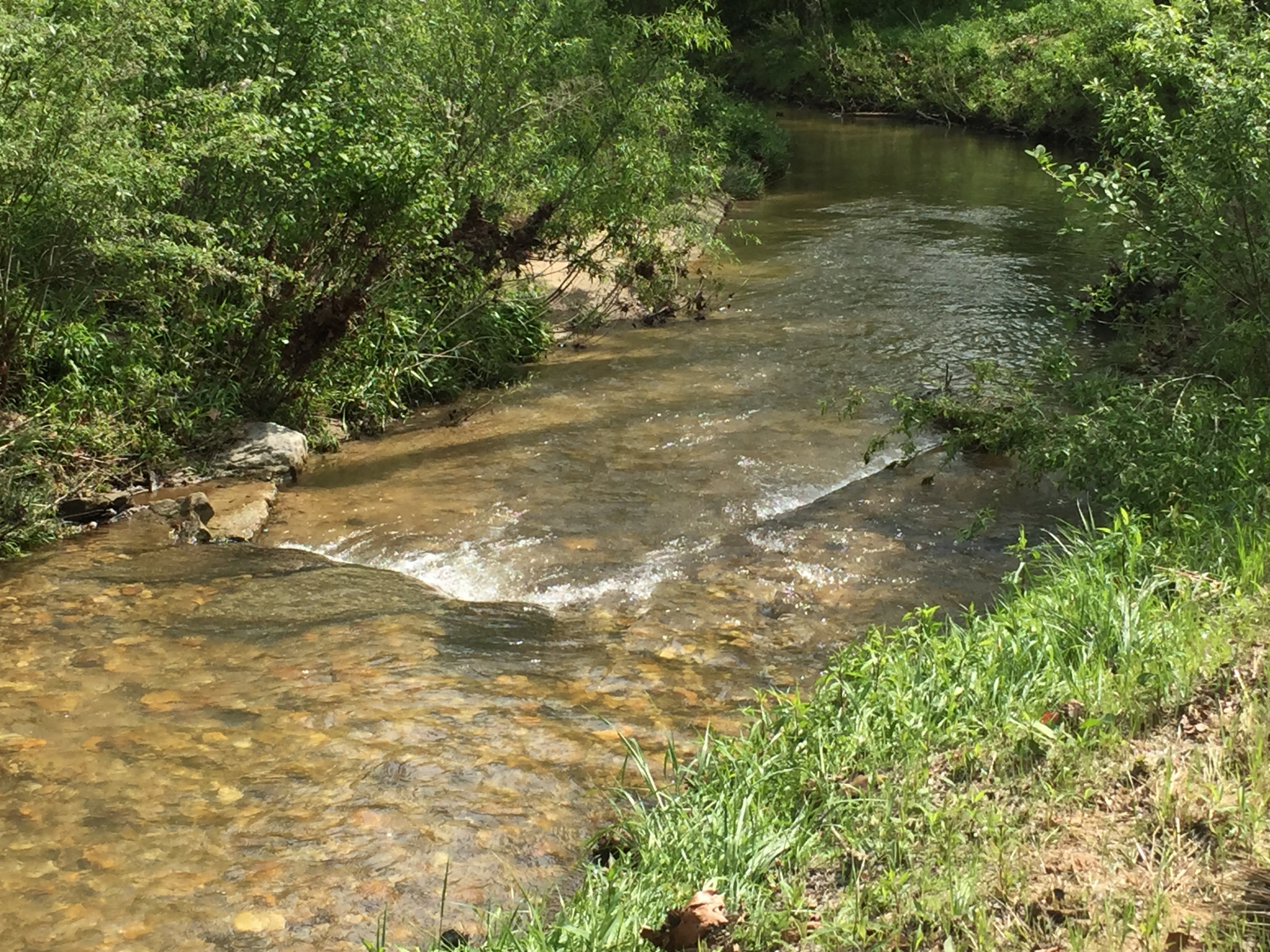
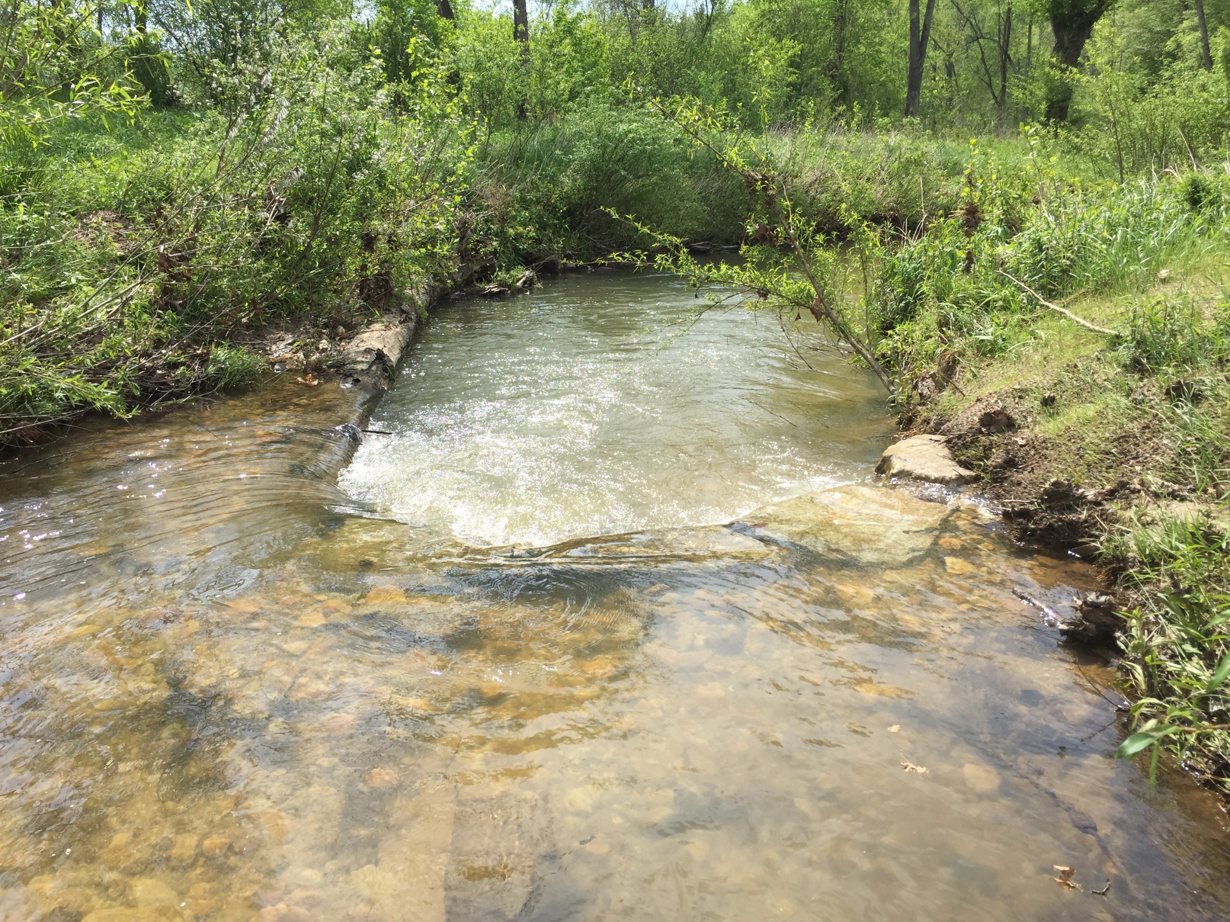
- Log/boulder J-hooks, toe wood, and log/boulder step-pools were installed at key locations along both tributaries and the main stem Big Creek to reduce near-bank stress, provide grade control, dissipate energy, and create habitat.
- Long-term bank stabilization and lateral control was provided by planting native grasses, trees, and shrubs on the lower and upper stream banks.
- A ford crossing at the downstream end of Reach 3 was appropriately relocated in a glide and stabilized to prevent future problems
- Wetlands were created along the floodplain of Tributary 1 creating vernal pools and temporarily flooded areas.
- A riparian management zone was established along the stream corridor. The management zone was fenced to restrict livestock access. A riparian buffer was established by planting native grasses, trees and shrubs.